[Views of Cincinnati] Postcard Town
What is a "postcard town?" If you Google the phrase, it's apparently the name of a bunch of really bad indie acoustic songs on YouTube. The term is typically used to describe a town that appears so perfect, it belongs on a postcard. Personally, the first time I heard the phrase was in the 2001 David Spade B-Movie: "Joe Dirt."
"I was living in the woods outside of that postcard town. Silvertown. I'd come into town to steal stuff. You know, food, whatever."
In the film, Joe Dirt (Spade) is traveling across America to find his parents. He winds up finding a town that he had seen on a postcard and well, I won't spoil the rest, you should watch it (seriously, it's actually pretty funny). There's a romanticized view that I think most people have of small town America. The idea of the "Anytown USA" seen on postcards evokes images of 48 star American flags and wind chimes on porches, church steeples and Andy Griffith riding through Mayberry. It's a nice thought of a time since passed, when things were simpler, whether they were or not.
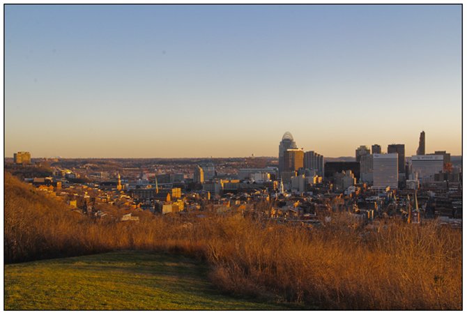
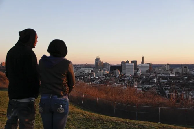
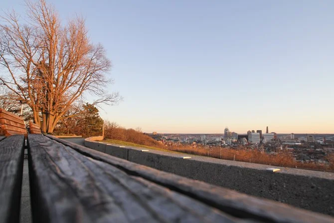
The city is a stark contradiction. It's loud, busy, exciting and crowded. The urban environment is a crowded concrete jungle that Andy Griffith wouldn't understand. Small town America is nice, but cities are the country's core. There's a spot though in Cincinnati where the idea of a postcard-esque small town meets that of a metropolis' skyline - atleast in a visual sense. When the sun is just right in the evening sky, that place is Bellvue Hill park.
Bellevue Hill actually used to be the top of the Bellevue Inclined Railway, a shortcut up one of Cincinnati's many hills that surround it. While cities like Pittsburgh preserved some of their inclines, all of Cincinnati's disappeared, this one in 1926. The park remains and features a commanding view of the city below.
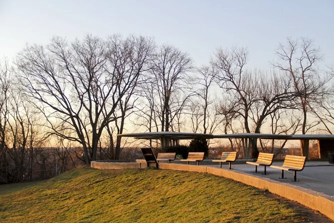
Aside from the overlook, the park features a uniquely designed building with an extended covering that looks like something from the 1960's. The location was actually used in the music video "It's Not my Time" by 3 Doors Down. If you can tolerate the so-so song, the video is actually pretty cool.
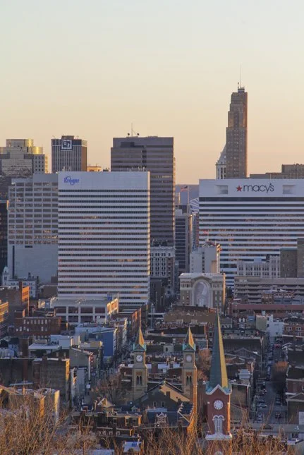
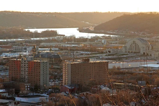
But what makes it a postcard town view? For me, it just happened to be the right time of day with the setting sun shining on the right features. It evoked that romanticized "Anytown USA" feeling with the neighborhood church steeples below, but had the mixed in elements of the urban OTR neighborhood and of course - the Cincinnati Skyline.
In the East, you can see over to Mt. Adams. Downtown in straight ahead and to your right, the West End, Ohio River bend and Northern Kentucky.
In front of the overlook that was once home to the incline's station, there's a grassy area protected from the overgrowth by a chainlink fence. Looking straight on, the view is nice, but it's marred by the ugly fence and partially obstructed by the trees.
Walking a little farther off the regular path, I framed up three elements. The grass and leaf-less trees of winter, the urban neighborhood and the skyline. Combined with the setting sun, to me, it evokes a "Postcard Town" view of Cincinnati.
