[Suburbia Lost] Burger King - Jordan's Crossing + Introducing: Cameron Knight
North of downtown Cincinnati, along an intercity that predates the interstate highway system, sits an abandoned Arby's fast food restaurant. The latest abandonment in a sprawling suburban shopping area.
Photographs and Text by Cameron Knight - a new contributor to Queen City Discovery who made these images with a Bronica SQ-A Medium Format SLR on Ilford Pan 50 film.
If you're under the age of 60, you probably don't remember a time without the interstate highway system. The vast majority of it was planned in the 1950s and completed in the 1960s. Before that time, Cincinnati's main corridors were a bit different.
In order to travel north of the city into the suburbs, you had four choices. State Route 27 was the furthest west and it is essentially Colerain Avenue. That would be your choice to get to Ross and Shandon.
Coming slightly further east is State Route 127, known now as Hamilton Avenue. North College Hill, Mount Healthy, Fairfield and eventually the city of Hamilton were all destinations along this route.
What we think of now as Route 747, then started at Paddock Road and was the most direct path north and - it eventually landed you in Middletown.
And finally, arguably the most important road north, Route 42. Called Reading Road along most of it's length today, it was the way the way to get to Dayton. It was also the primary path of development out of the city during the early to mid 20th century.
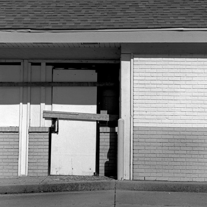
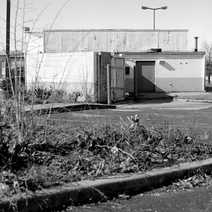
Today, 42 is not faring so well. Until you get well out of the city, past Reading and into the GE stronghold of Evendale, 42 is littered with abandoned buildings from what seems like all eras of Cincinnati history.
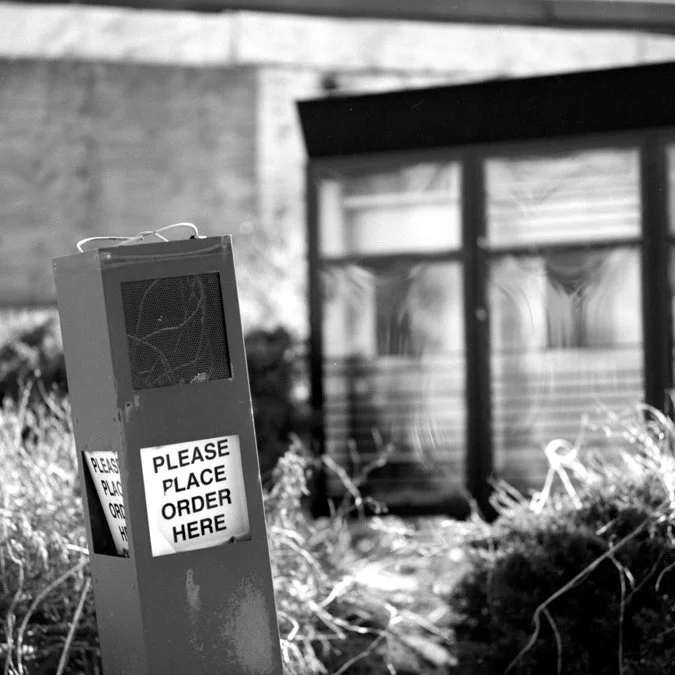
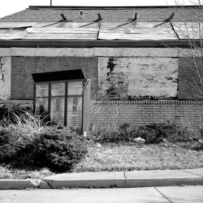
As I traveled up 42 recently, I came across this abandoned restaurant under a well worn Jordan Crossing sign at Seymour Avenue near Golf Manor and Bond Hill. The corner is now dominated by the Allen Temple AME Church, but the giant blue sign still remains advertising the old shopping center. But this corner didn't start as Jordan Crossing.
When opened in 1956, it was the Swifton Shopping Center, Cincinnati's first mall. The anchor store was Mabley and Carew and it had parking for 3,000 cars. Like several malls in our area, it died. At one time in the 80s, there were only ten shops in the mall. In 1985, with a lot of investment help, it reopened with a new image. By 1990, the property was in foreclosure. It changed hands several times until 2001 when the Allen Temple AME Church purchased the space.
We all know the dead zone that is Forest Fair/Cincinnati Mills, but as it turns out, it's just history repeating itself.
This parking lot fast food restaurant, I believe to be an Arby's (Edit: Actually a Burger King), once teeming with commerce. Now it's rusting in the shadow of a behemoth church. The metaphors are overwhelming.
Suburbia Lost is an ongoing documentation of decay in the sphere of a perceived paradise. After years of photographing abandoned, forgotten, and often historical locations in the city, this project aims to take a look at how structures fare in the sphere of suburbia. You can view other entires in the project, here.
Cameron Knight has been a professional photojournalist for over a decade specializing in long term documentary work and portrait series. He currently owns over 75 film cameras and has his own dark room. He has won several awards for his work in photojournalism and is a graduate of Western Kentucky University.
He also has two different colored eyes and according to his mother, was conceived to the Fleetwood Mac album "Rumours."