The Surviving Skywalk and the Story of a Busking Musician
There’s always something to do, but nothing I wanted to do. And with a week off work, there’d be no looming responsibilities—perceived, self-prescribed, or otherwise. Yet, even with this miserable weather, I at least wanted to go out and shoot. Which is how I found myself alongside Travis, wandering beneath grey skies and atop salt-soaked streets after all the office workers had left Downtown for the week.
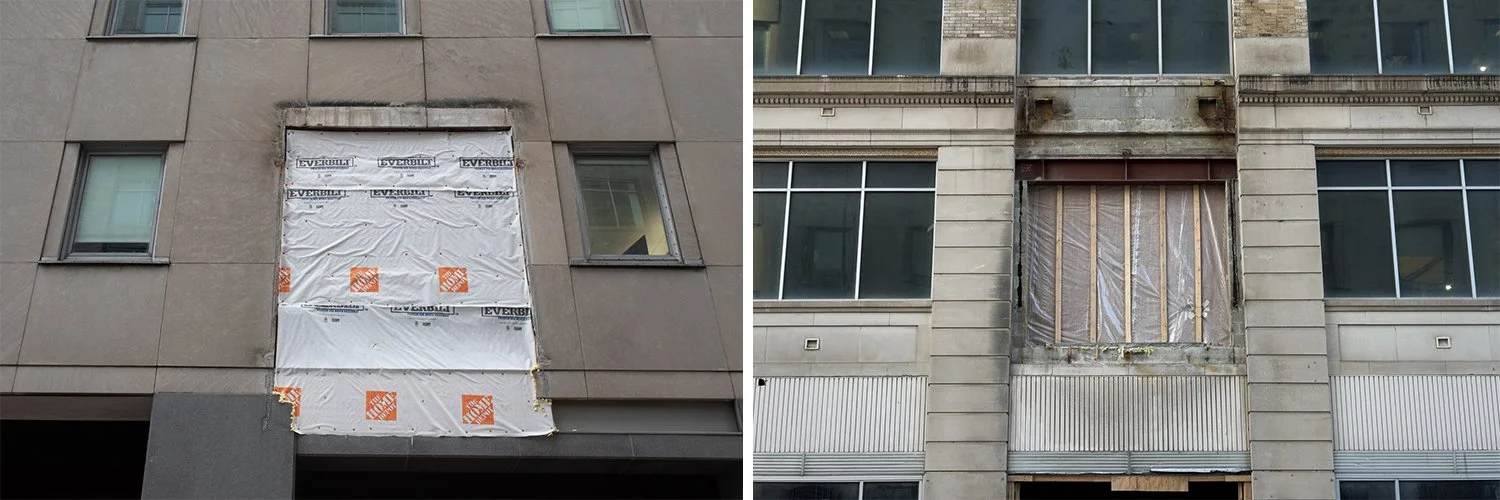
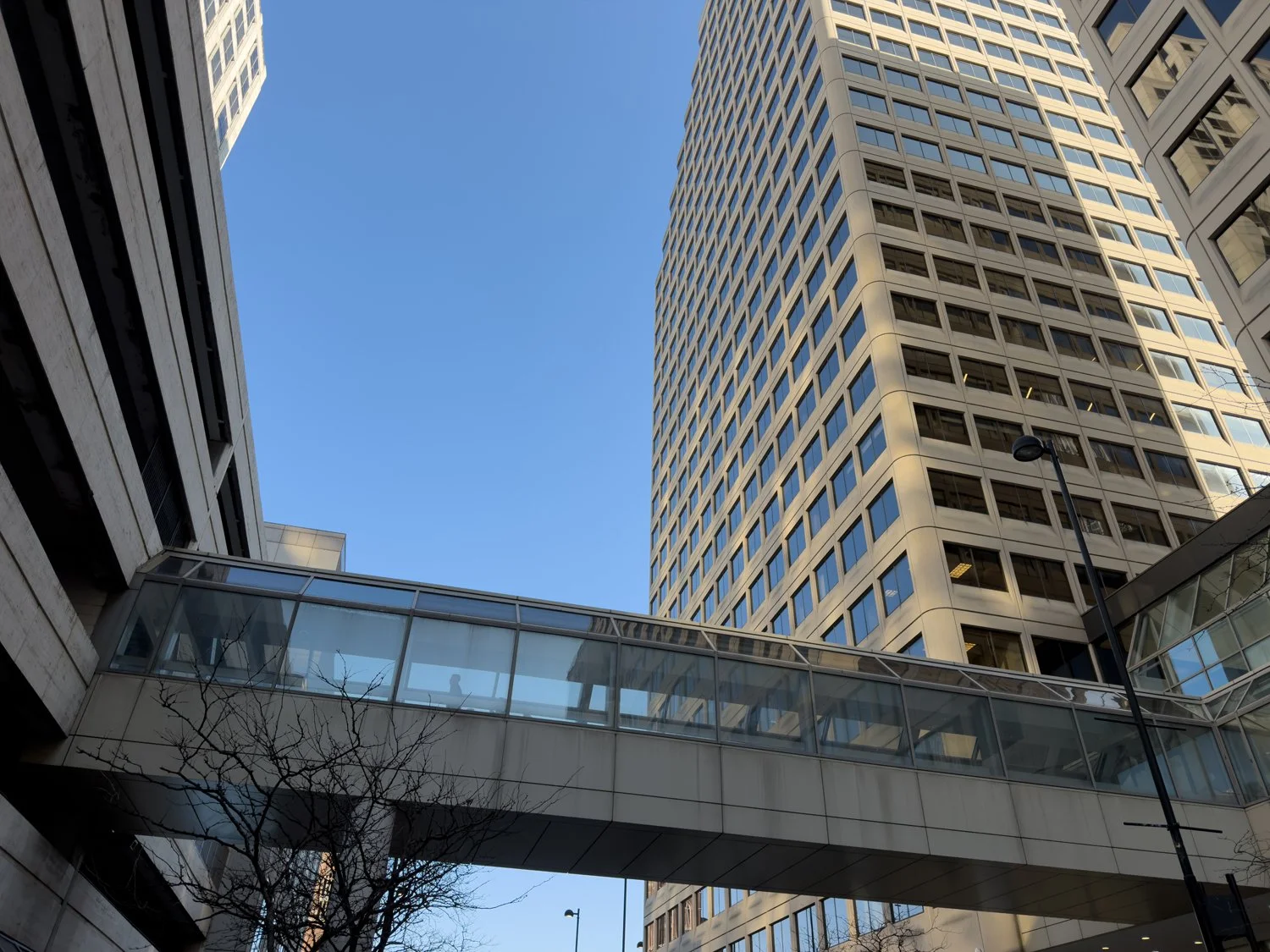
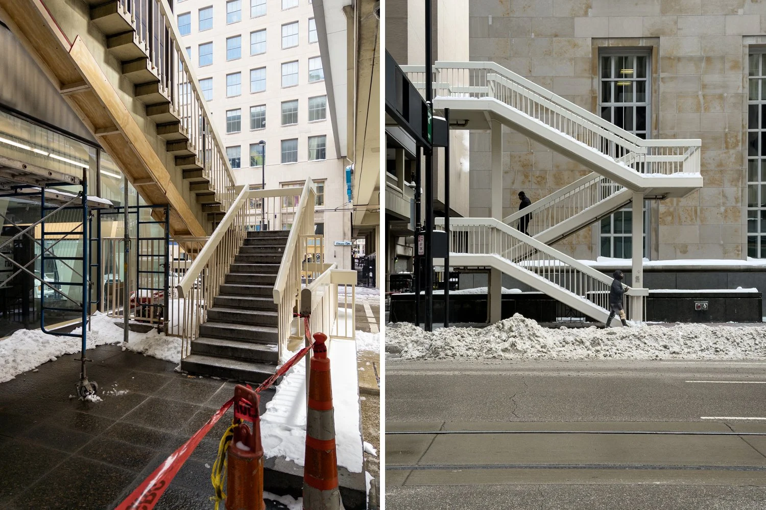
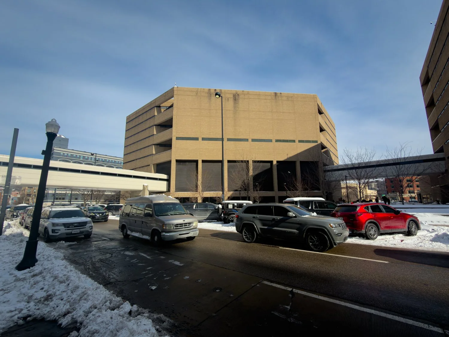
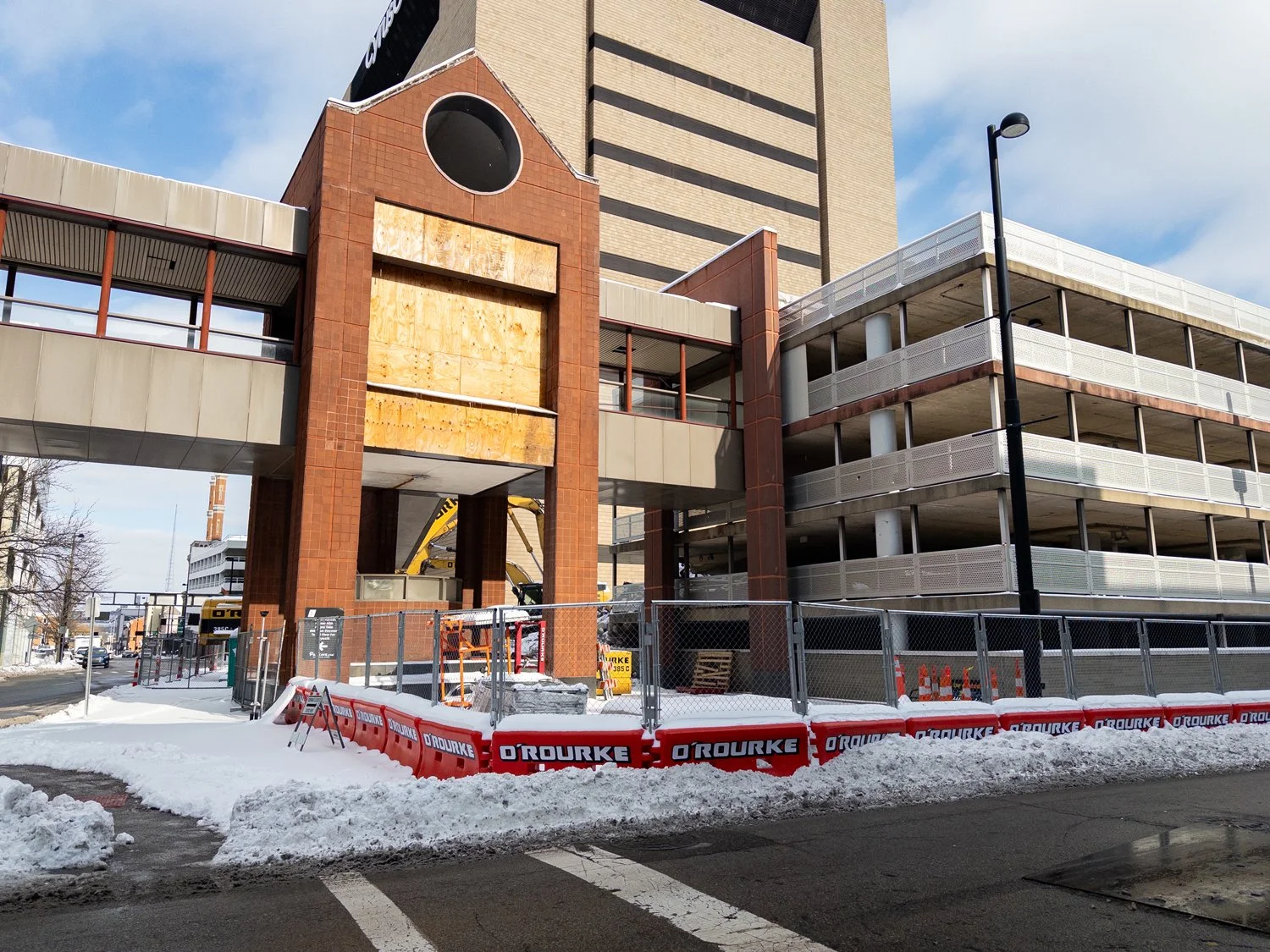
Exposed areas of the Procter & Gamble headquarters (left) and the Duttenhofer Building (right) after the recent removal of an elevated, enclosed “skywalk.”
It was along Sycamore St where we noticed that a section of “skywalk” had been removed. Originally constructed to connect two buildings within the Procter & Gamble headquarters complex, the Duttenhofer had been disconnected as part of its conversion into a hotel.
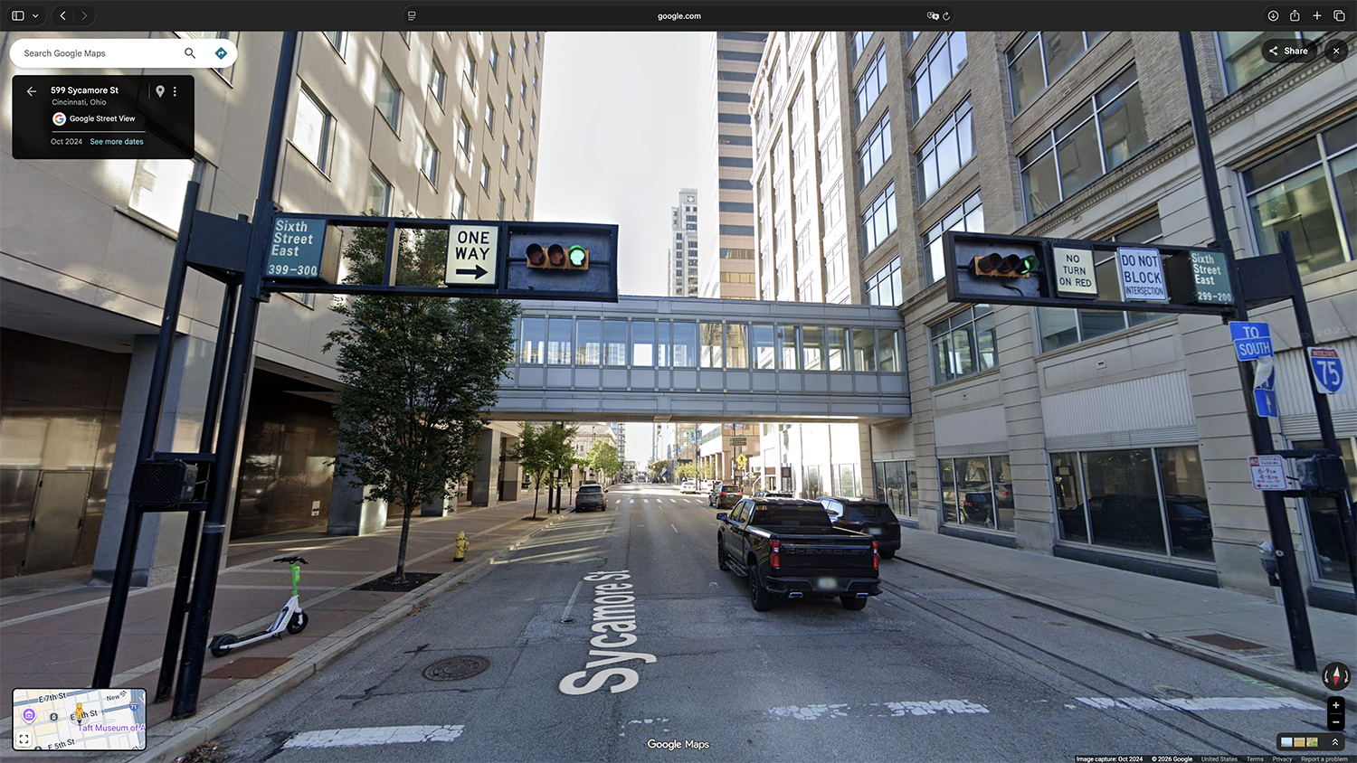
The former Procter & Gamble “skywalk” over downtown Cincinnati’s Sycamore St as seen on Google Street View in October 2024.
Technically, the enclosed-pedestrian-bridge-that-had-just-recently-been-above-us wasn’t part of the official “Skywalk,” but it had looked the part. And now, its demolition was serving as another reminder of how the once-sprawling network was continuing to disappear.
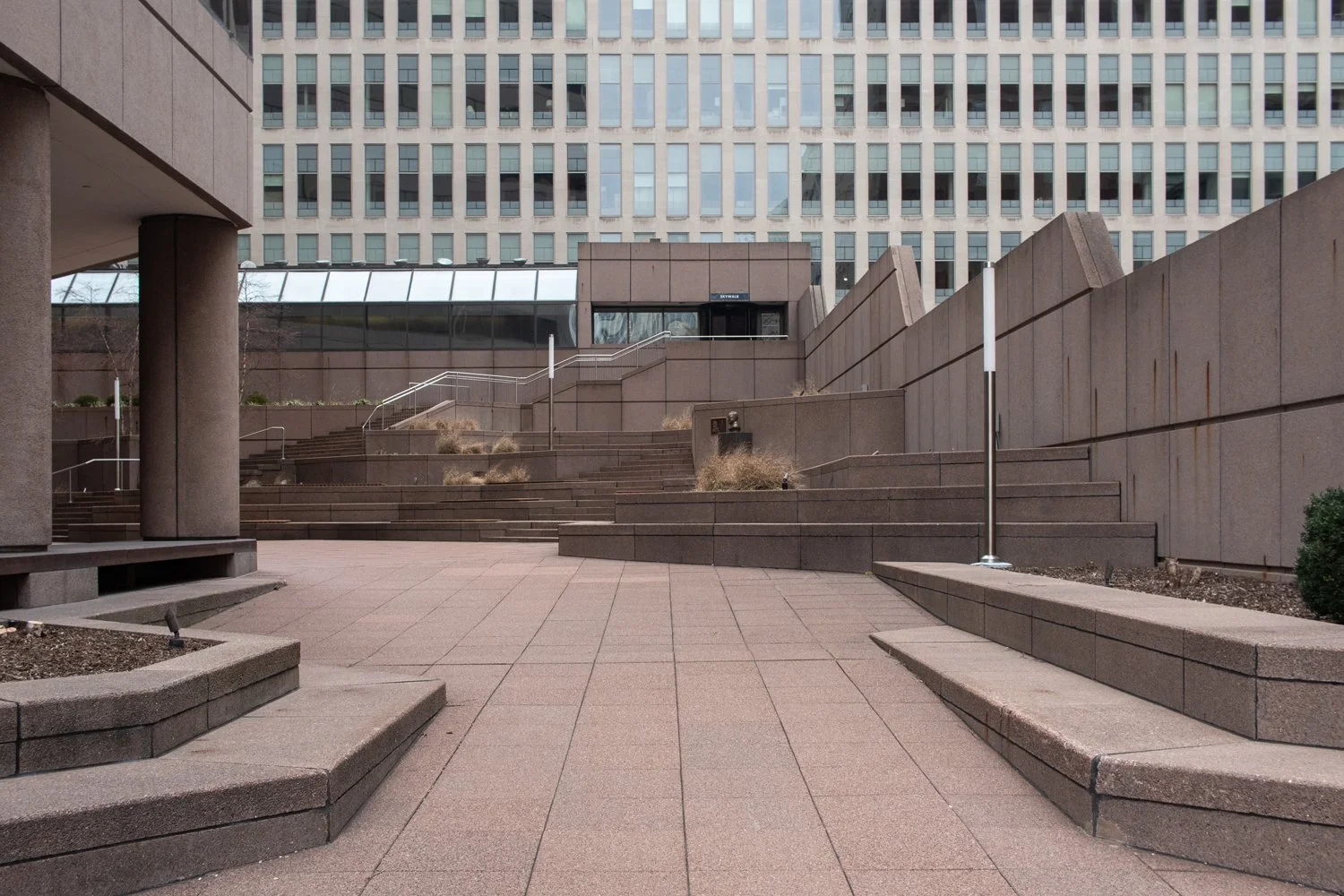
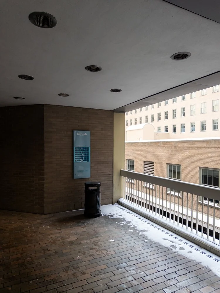
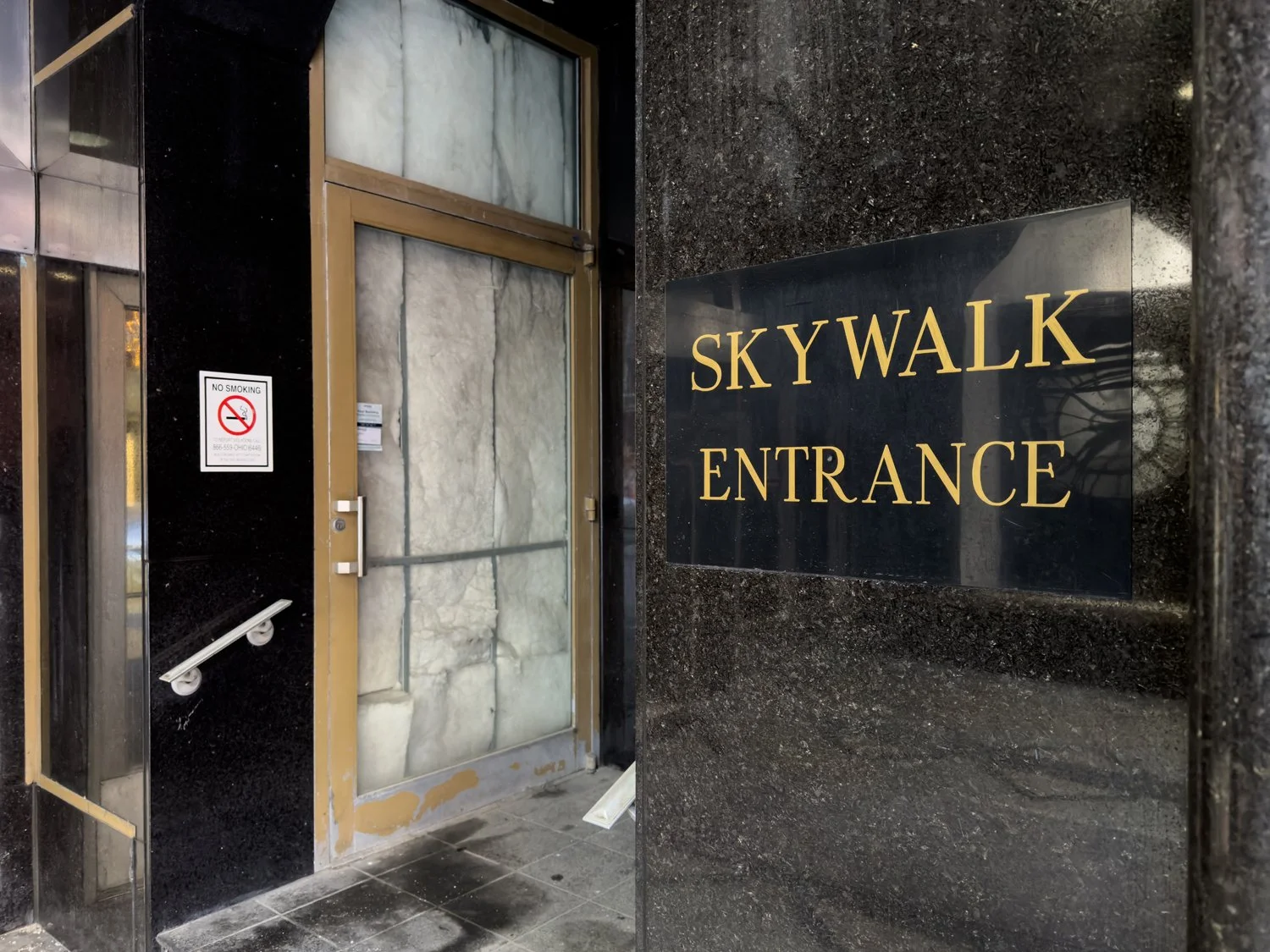
Columbia Plaza with its Skywalk entrance atop the stairs at center..
Just around the corner, there was an entrance to what little remained of that public system. We could see the door from across the plaza, but despite the potential relief from the cold it might’ve offered, we didn’t bother to go check if it was unlocked. Rather, we just assumed that there was no way it would still be accessible to the general populace on the weekend afternoon of a middle American city in a post-Covid world.
I also told myself that I had no interest in writing about the Skywalk again.
But how else should one spend their vacation?
So, a few days later (while finally getting an “honest cheeseburger” from the nearby Red Fox), another friend and I went for a (sky) walk.
Cincinnati Skywalk as seen in the winter of 2007.
As a general concept, “skywalks” were popularized during the peak proliferation of shopping malls. They offered users a climate-controlled chance to enjoy the alleged conveniences of suburbia within the nostalgic hearts of their cities. These systems would become successful in locales like Minneapolis, St. Paul, and Atlanta, but Cincinnati never really had anything on par with those places. As with many ambitious projects of the Queen City: the Skywalk was a decent idea with milquetoast execution.
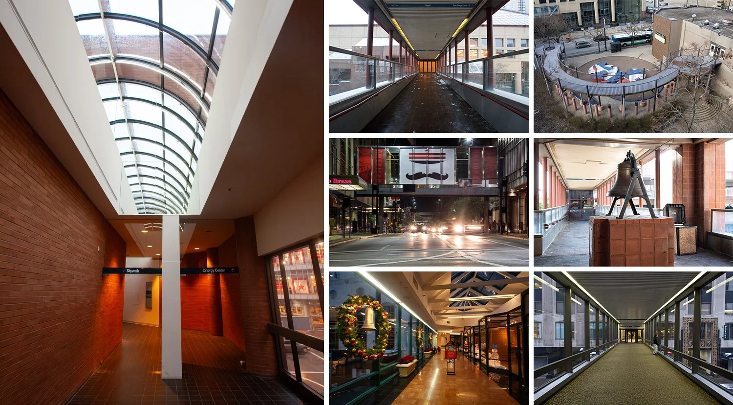
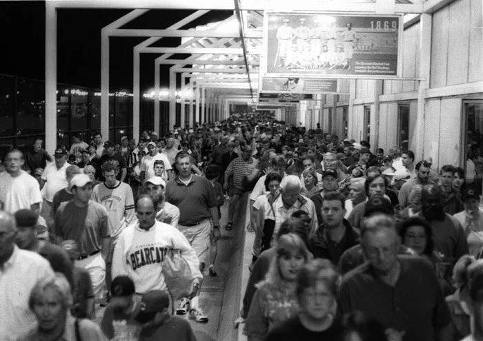
Various segments of the Cincinnati Skywalk documented over the years.
Both the envisioned and realized versions of the network accomplished the basic goal of linking most of the city center between the convention center and the old stadium, but a fair amount of the pathways were open-air; so while they provided a potential shortcut, they only offered modest protection from the elements. And no matter what decade you traversed the system in: there was always some combination of dead-ends, locked doors, limited hours, and forced deviations to the street-level. Aided by the decline of brick and mortar retail in the early aughts, skywalks eventually became passé among the trends of urbanism outside of cities with extreme weather.
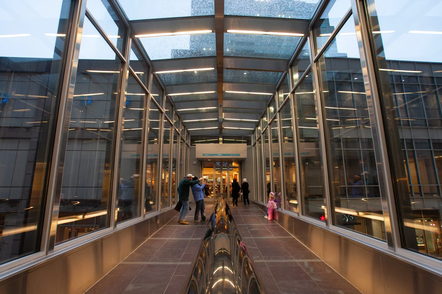
A now-demolished segment of the Cincinnati Skywalk leading to the former downtown Macy’s in December 2008.
I’d grown up having experienced several parts of the local system, although I never explored it in depth until the winter of 2008. By then, a fair amount was still intact, but economic change was looming on the horizon. Through both recession and revitalization, downtown Cincinnati dramatically transformed. And as I kept hanging out in, working in, and eventually living in the neighborhood—I watched the Skywalk continue to wither as little more than a curious vestige of the relatively recent past.
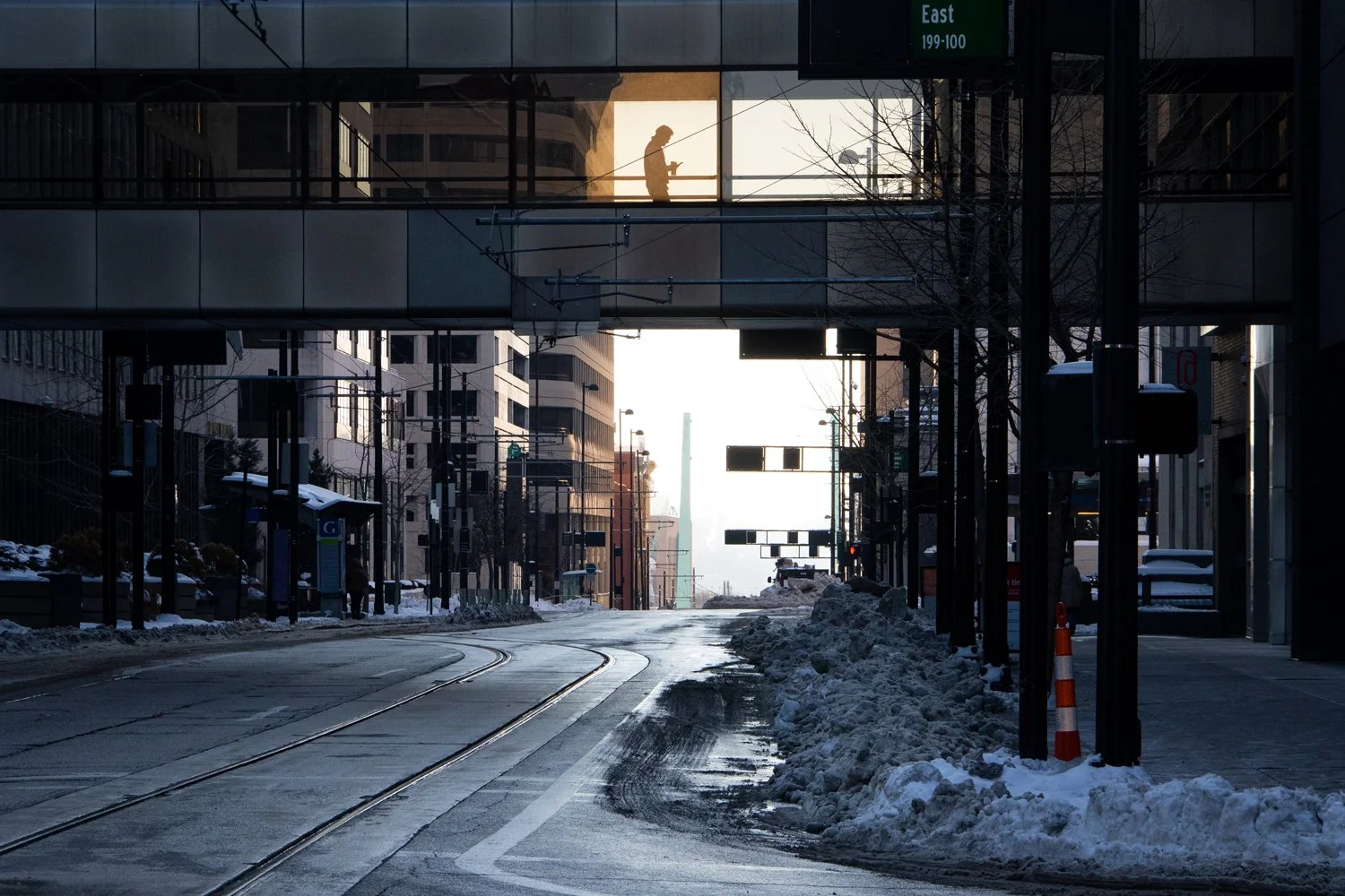
Skywalk as seen above Main St on a frigid day in January 2025.
Even living only steps away, I’ve never had much practical use for what does remain of the network. And unless you work in one of the connected office buildings, park in one of the adjoining garages, or admire the work of Subway’s sandwich artists—you probably don’t either. As Cedric and I waltzed past the Henry Kissinger statue and into the entrance at Columbia Plaza—it was like stepping into a world that felt simultaneously foreign and familiar.
Columbia Plaza near its Skywalk entrance.
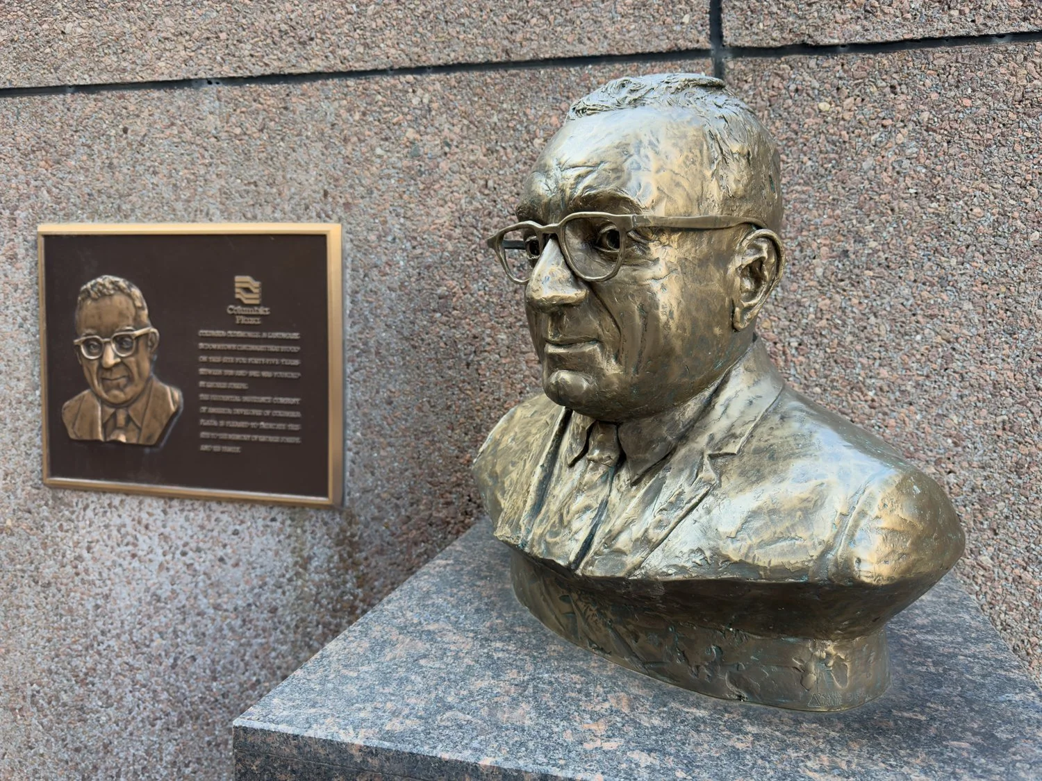
Turns out it was a man named George Joseph, not Henry Kissinger. The plaque commemorates Joseph’s Oldsmobile dealership which occupied this area before the Columbia Plaza tower.
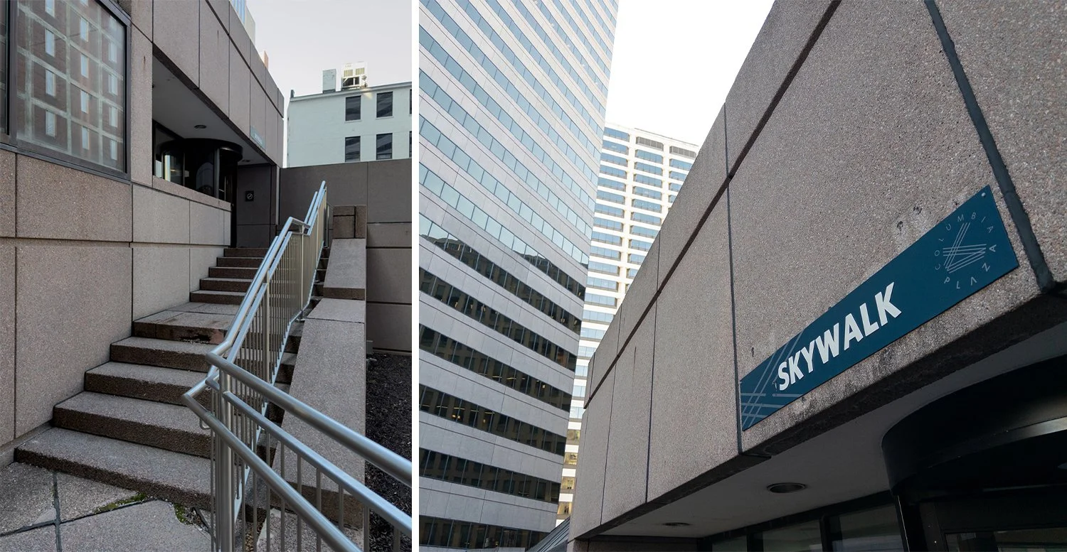
Skywalk entrance at Columbia Plaza.
I hadn’t been here in probably fifteen years or so, but I was now being bombarded with the nostalgic reminders of classic mall culture. Despite what my selective photographs may show (I kept waiting for people to pass by), the halls were pretty busy—bustling with a workforce crowd in the early afternoon. All of whom, like us, had to appreciate the relief from the bitter cold.
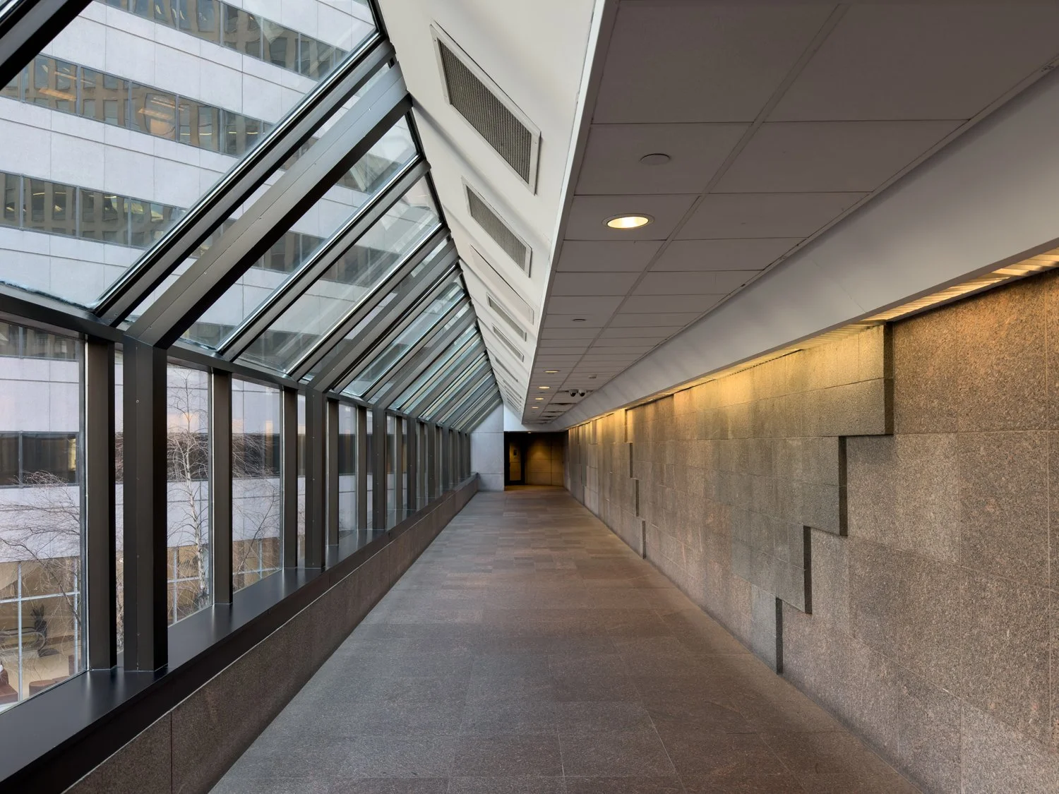
Skywalk segment at Columbia Plaza.
Downtown Cincinnati doesn’t have a subway, but it has many Subways. One of which I never knew existed until we came across it while heading south. Like its Italian B.M.T. brethren at street-level, this location also featured lunch-only, weekday hours.
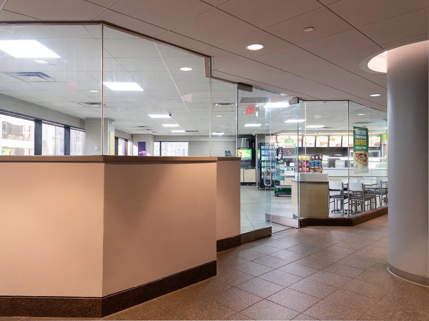
Secret Subway.
Thankfully, however, the Skywalk still connects with dining options that are much better than Subway’s slop.
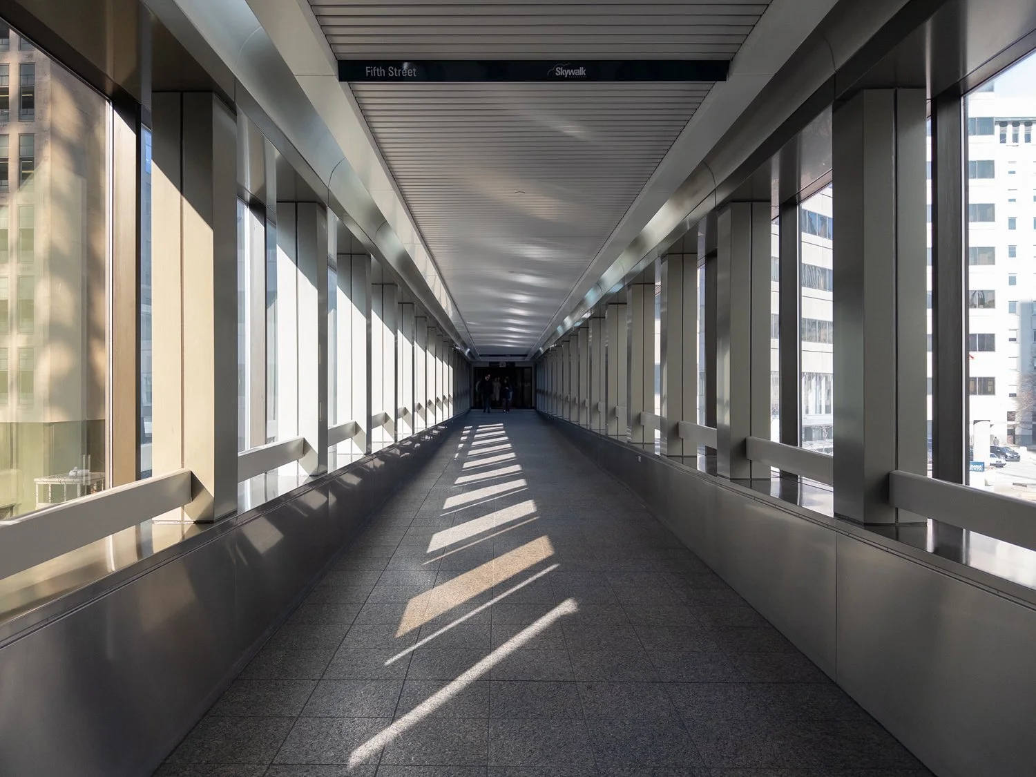
The Skywalk above 5th St connecting Columbia Plaza with the First Financial Tower.
The Skywalk above 5th St connecting Columbia Plaza with the First Financial Tower.
Skywalk signage in the First Financial Tower..
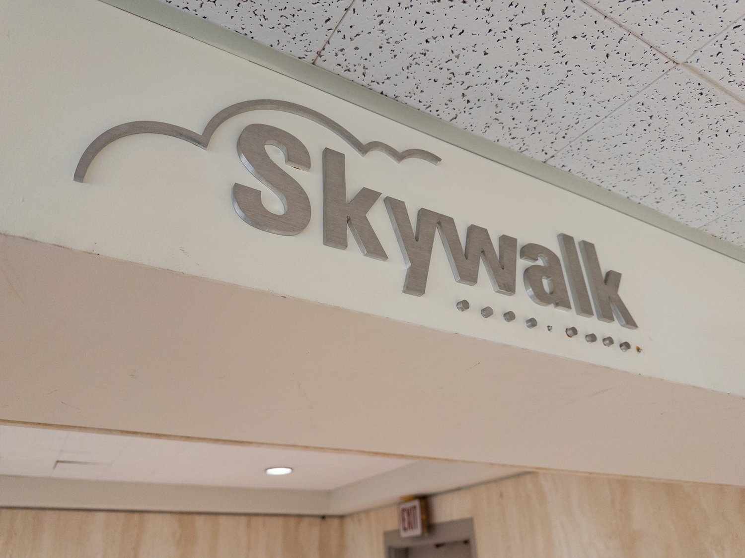
Skywalk signage in the First Financial Tower.
On Tuesdays, there’s apparently Korean rice bowls available in the First Financial Tower…
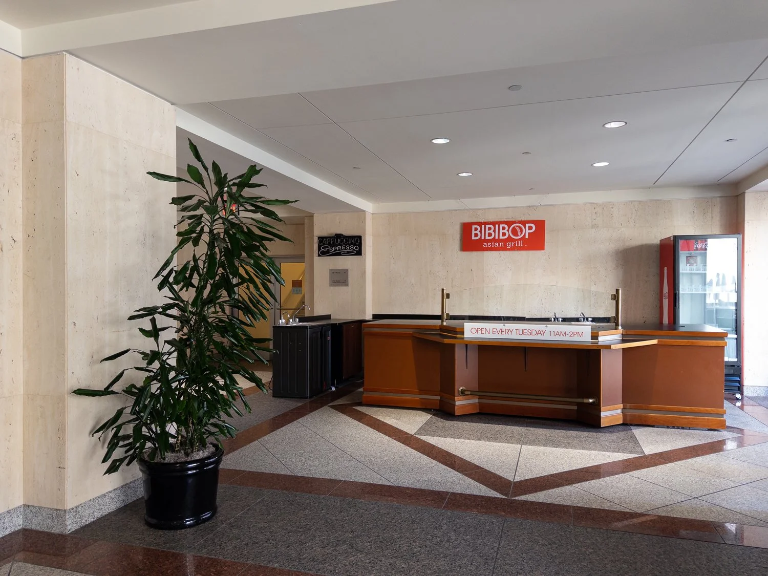
Bibibop location on the First Financial Tower’s Skywalk level with signage advertising operating hours of 11 a.m. to 2 p.m. on Tuesdays.
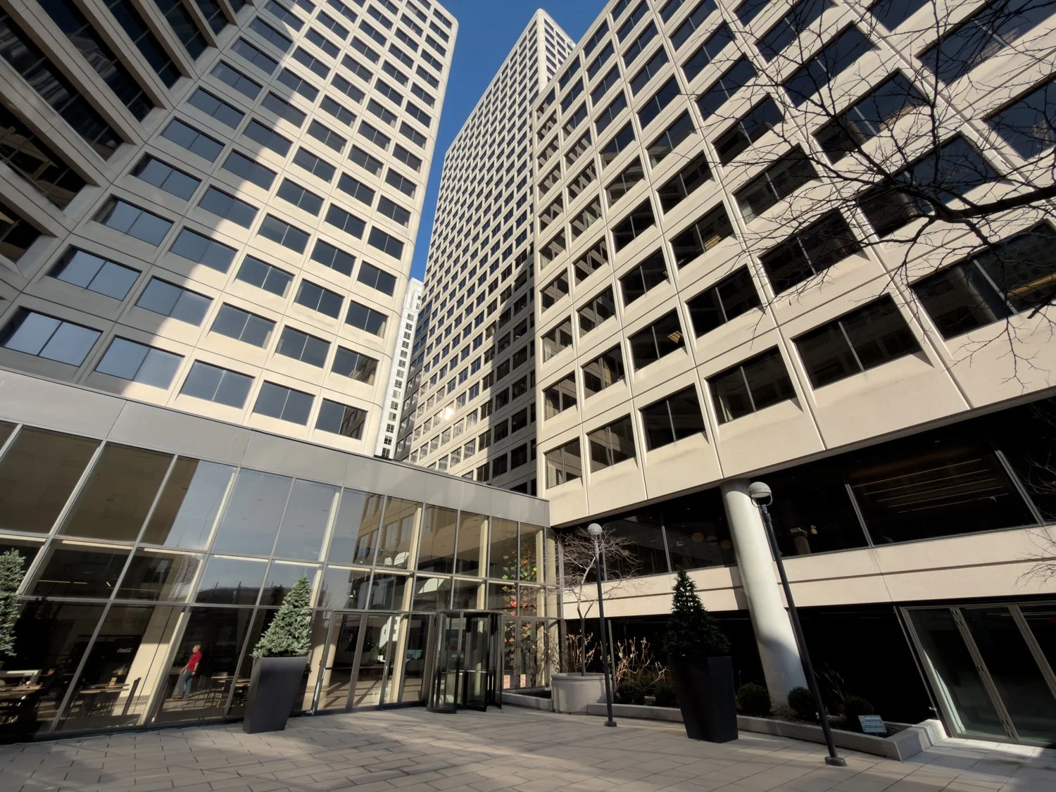
…and over in Atrium II…
Passing through the First Financial Tower to Atrium II.
Exiting the First Financial Tower near the bridge to Atrium II.
Skywalk bridge above 4th St. leading to Atrium II.
Skywalk bridge above 4th St. leading to Atrium II.
…there’s a selection of local and corporate options (including another Subway) at the “Atrium Food Market.”
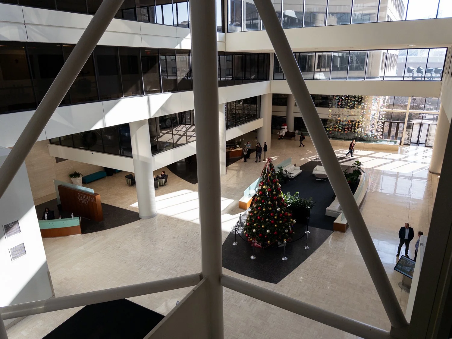
Atrium II lobby.
The realities of office real estate have drifted over the years, but Atrium II still retains an active tenancy of white-collar workers in service to a diverse range of employers. In addition to being a “food court” of sorts, the lobby is also a crossroads. The kind of place where people are still rushing around, enjoying a coffee by the fountain, or heading out onto the patio for a smoke.
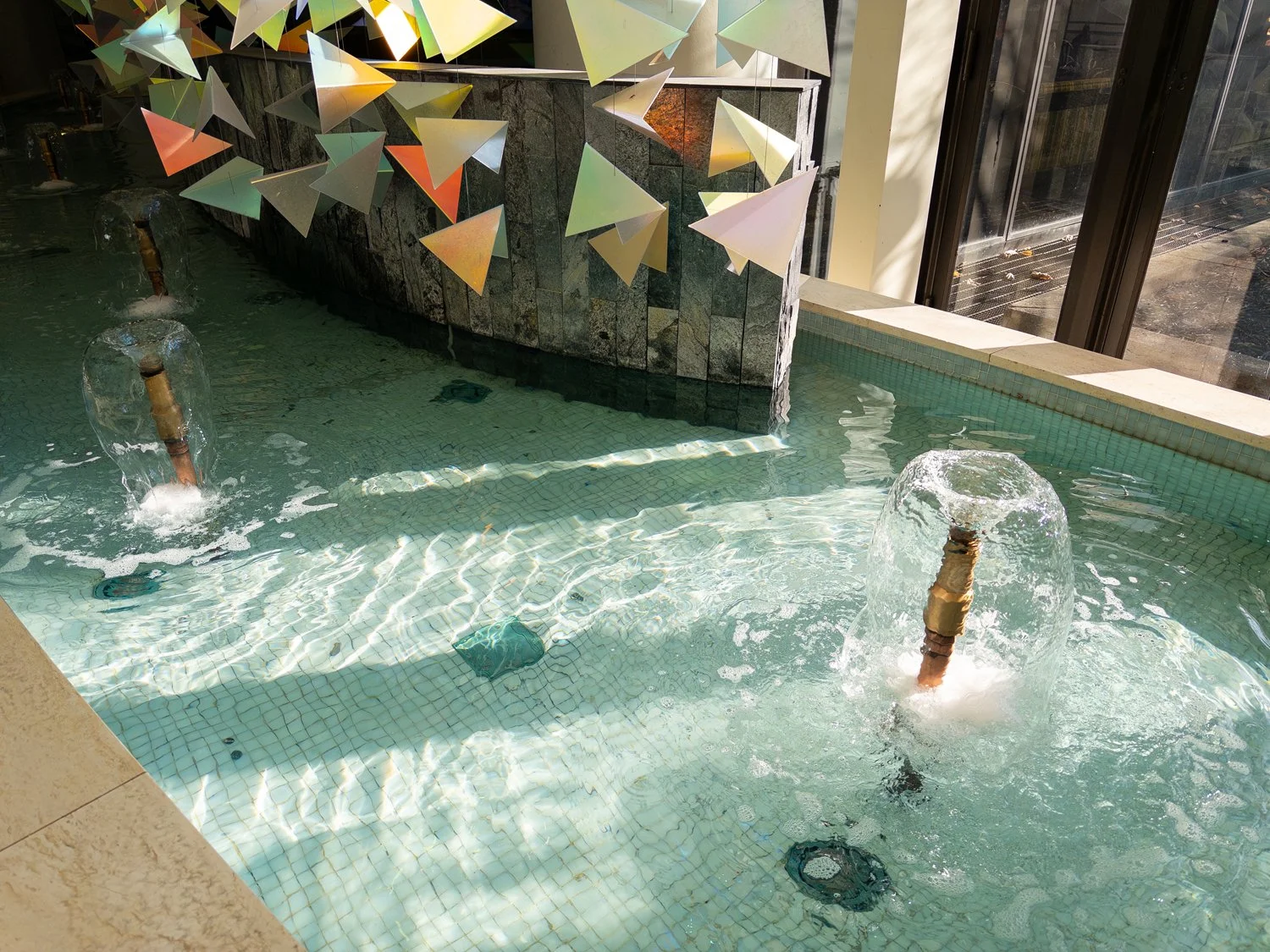
Atrium II fountain.
Atrium II patio.
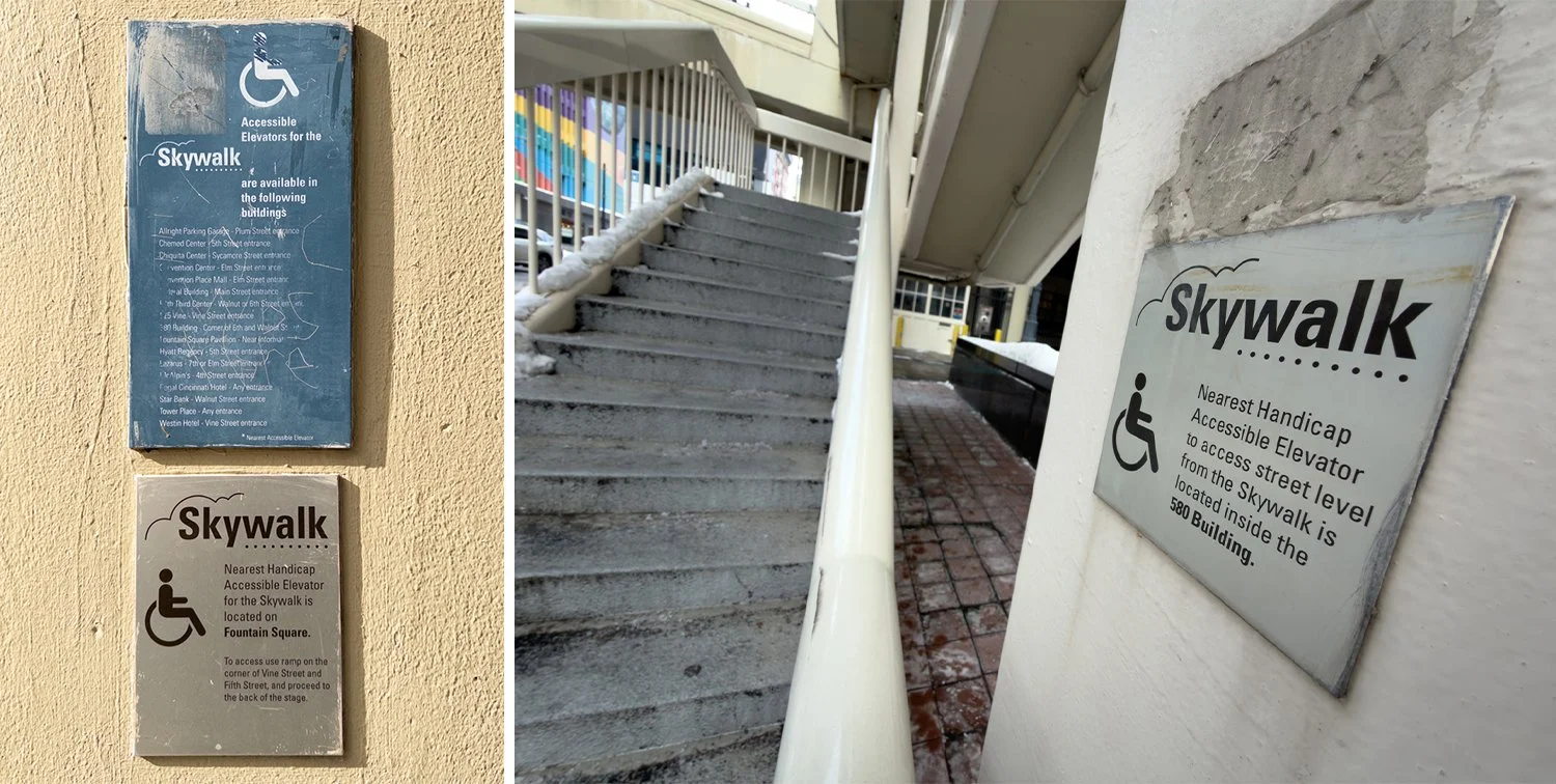
This is also where part of the extant Skywalk ends, but this wasn’t always the southernmost terminus. As some older signage indicated: the stadium and coliseum were/are just up ahead.
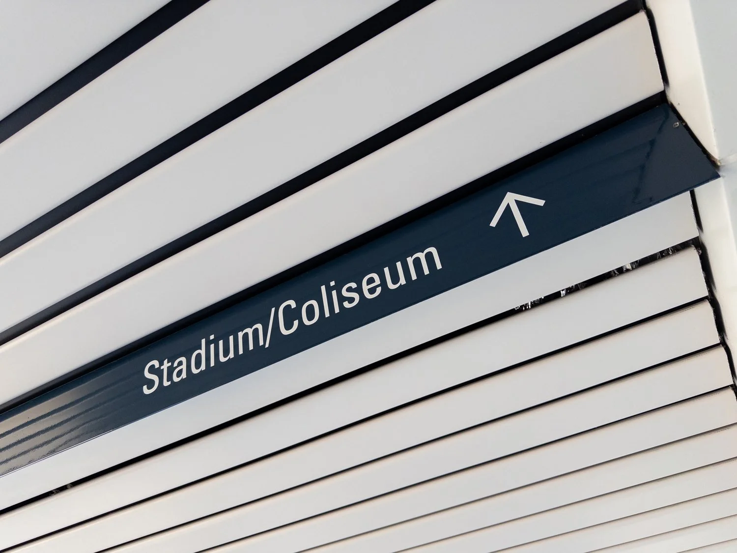
Skywalk signage.
And that’s technically still true, but also not entirely correct. In the late 90s and early 2000’s, Cincinnati’s riverfront was completely redesigned to feature new parks, new sports stadia, and a re-worked configuration of both local streets and interstates.
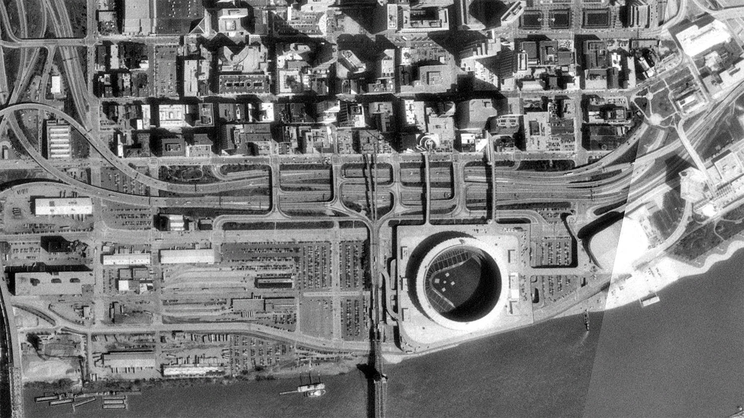
Downtown Cincinnati and its riverfront as seen in 1993 aerial imagery from the U.S. Geological Survey/Google Earth.
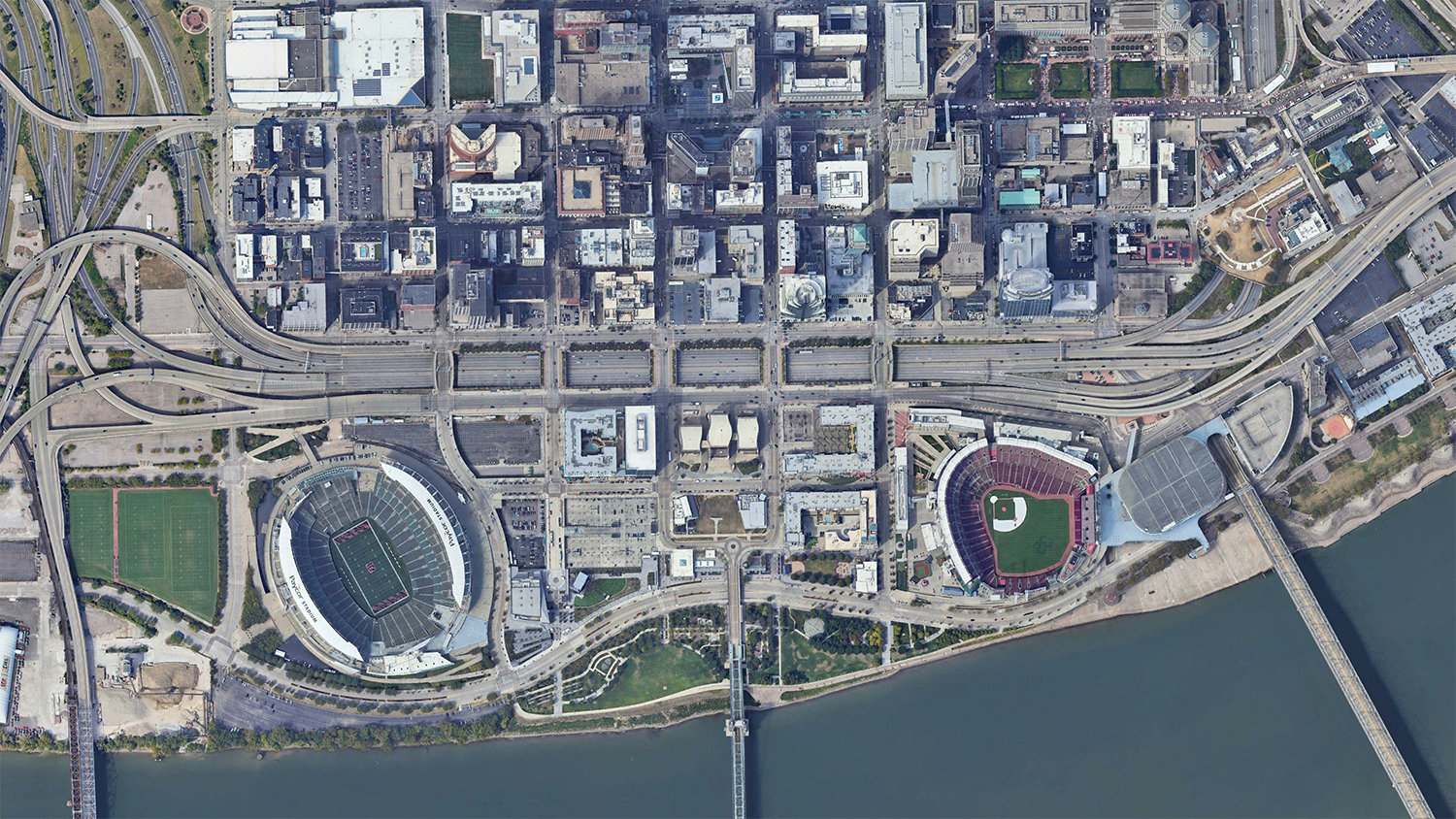
Downtown Cincinnati and its riverfront as seen in 2023 aerial imagery from Google Earth.
The development of all these things necessitated the removal of two skywalk links: a pair of bridges that spanned the freeway to connect downtown proper with the old sports complex.
NOTE: I’m not sure if these bridges were officially branded/considered to be part of the “official” Skywalk system, but for all intents and purposes—I consider them to be.
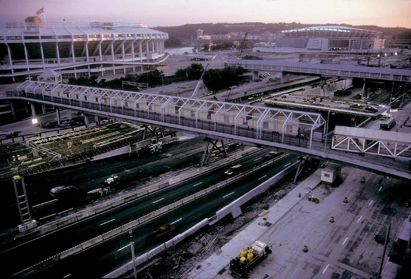
Bridges connecting the former Riverfront Stadium/Cinergy Field with Atrium II/2nd St. as seen in the Summer of 2002 above the work being done to reconfigure Fort Washington Way.
Photograph by Jake Mecklenborg.
These pathways had linked to the main plaza of Riverfront Stadium with another bridge further connecting to the Riverfront Coliseum. Both baseball’s Reds and the football’s Bengals would get their own, separate venues in roughly the same area, but the coliseum still stands today as the region’s primary indoor arena.
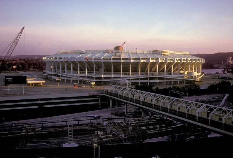
Riverfront Stadium/Cinergy Field in summer 2002 with one of its two pedestrian bridge connections shown.
Photograph by Jake Mecklenborg.
The stadium bridges were a core memory from my childhood and even made an appearance as part of the “devil’s backbone” race course in the (locally) iconic 1993 film Airborne.
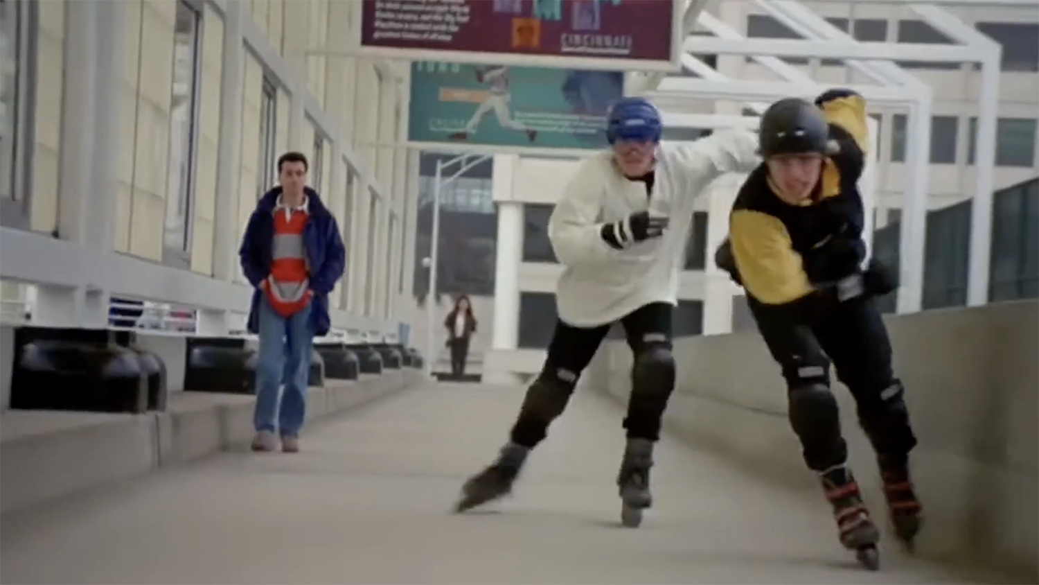
The rollerblading characters of Jack and Blane duke it out on a stadium skywalk section as seen in 1993’s “Airborne.”
One of the best documentations of their existence comes from Jake Mecklenborg, though, who snapped this fantastic photograph in 2000:
Photograph by Jake Mecklenborg.
The bridge seen in Jake’s classic image was intended for pedestrians on one side and taxis on the other. During well attended events, however, a critical mass of people pretty much made it exclusive to pedestrians. This was a walk I always loved. The bridges were filled with the echoes of ticket resellers, souvenir vendors, and busking musicians. Then, once you emerged from under the roof and onto the main plaza: you got an impressive view of both the old stadium and the city skyline.
Cedric overlooking the location of a former stadium Skywalk bridge from the patio of Atrium II. The Reds’ Great American Ballpark can be seen in the distance.
The area where one those bridges had connected with Atrium II still serves as an outdoor patio. As Ced and I stood there and reminisced, particularly about the busking musicians, it’s where I found out that he’d actually been one. But, I’ll let him tell you about that..
• • •
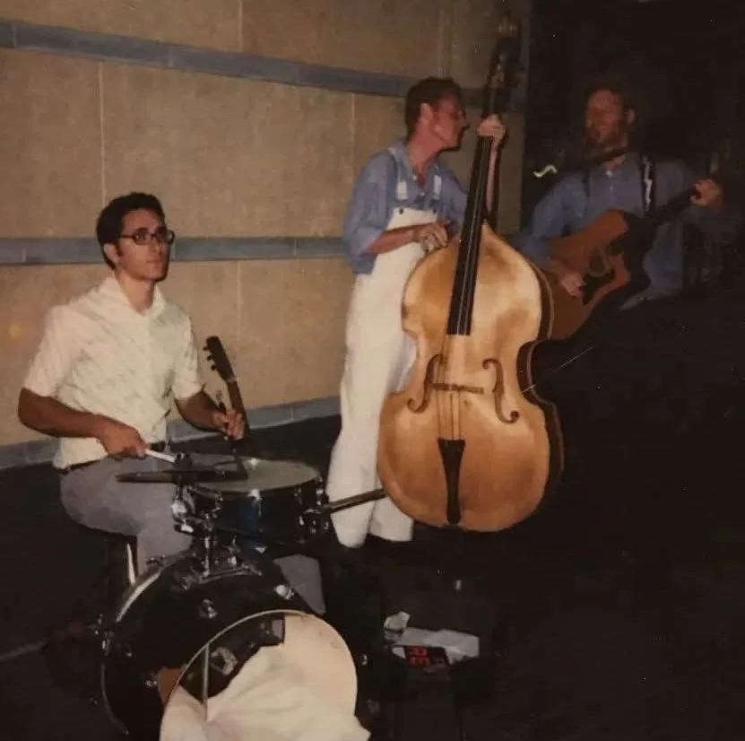
Busking 1999
Cedric Rose
The bridges between Riverfront Stadium and the Skywalk had complicated acoustics. They were open, with partial roofs that reflected sound. They echoed with murmurations of passing fans, with the rush of the highway below. Buskers strummed guitars, crooned, slapped and sticked drums. They emptied lungs through horns and harmonicas, drained spitvalves onto the quick-evaporating concrete. I played drums there during baseball seasons in the late ‘90s. We would set up where the bridges opened onto the beige plaza surrounding the stadium. There was a carnival atmosphere of hotdogs, popcorn, scorched sugar, and beer. Smoke from grill, cigars, cigarettes, spliffs. It was like the outside of Reds games today, but more open, louder. And maybe it’s my added decades, but everything seemed more fluid.
I’d bring my djembe on my bike or the bus. If I could catch a ride—I’d bring a kick drum, snare, and hi-hats. I usually busked with Jake Speed, who I played with in his band, The Freddies. We would pick up our bass player, Caleb, from an old house in Coreyville. This violin player, Brady, who sometimes played with us on the street, also crashed there. Caleb’s glossy bass crushed me against the rear windshield of Jake’s tiny car. Sometimes my friend Maurice, who I played with in a couple of other bands, would come out with his keyboard and a battery-powered amp. Almost always, we met up with Dishon Woody, who you’ve probably seen playing a small djembe at Findlay Market and on corners all over downtown. With his natty dreads and dark wrap-around dark glasses, Dishon is the godfather of Cincinnati street percussionists. There was this jazz player, Ketchup, we’d sometimes pick up. Music school students would appear, and people from the rock scene. Jake and Dishon would lead impromptu ensembles that formed and dissolved. We split the pot evenly no matter the difference in musical ability. This djembe master from Belize, Emmett Young, once came through. Anyone might show up. Anything could happen. It was beautiful.
When I think back to those years, just a decade before smartphones took over, it feels different in ways that challenge articulation. Did we move more organically, more randomly? People, and their attention followed different pathways. Playing on the street tuned you in to how passersby noticed or didn’t notice things, what caught their eye, what they deliberately ignored. That collective gaze is a weave of individual gazes. I’m sports ignorant, but the energy at the perimeter of the games spoke to me. It seemed to course invisibly outward from thousands of eyes following a point in space, a dramatic singularity: a ball arcing high through the summer air. And then there was that sense of possibility that comes with youth. You agree at an earlier time to meet someone somewhere at some vague later time, loosely based on some landmark. That infuses the present with suspense. You wait. You seek faces in a flow, not knowing exactly what you’re looking for. You tune to the crowd’s mercurical mood.
We played street festivals, positioned ourselves near gallery openings, restaurants, theatre shows. But those bridges were the most lucrative by far, because they compressed the crowd into a giddy, boisterous river. Jake would play Take Me Out to the Ball Game, Hit the Road Jack, My Bucket’s Got a Hole in It. Jambalaya, Johnny Cash, bush-league Beatles covers. We improvised loose rhythms and amorphous jam sessions that shapeshifted as the people swarmed.
After playing hard and upbeat for the arriving fans—we waited. We listened in the hush that descended over the deserted bridges as innings unfolded. Across the plaza the announcer called. We heard runs, boos, applause. Some of the buskers brought portable radios to keep tabs on the score. If it looked like a blowout, we’d reconvene early from grabbing a sandwich or drink to catch families making an early break for their cars. The fans emerged, loosened up on a few beers. We’d match their mood, feed off their energy, play fight songs or blues. Buzzed fans would boogie along, try to jam on our instruments.
Later, Dishon meticulously divided the take, evenly sharing neat stacks of coins and bills.
Then we’d go out again, looking for crowds. On Main Street and Mt. Adams, we’d play outside emptying bars though last call.
Much has been made of the dark, protean energy of crowds. The Skywalk connectors were just a couple of hundred yards from Riverfront Coliseum, site of the December, 1979 Who concert tragedy. But I’m struck now by the generous, happy-go-lucky vibe of those Reds fans in the late nineties. We were seldom hassled. Occasionally we were told to move on, to get a job. But mostly we felt like we were part of the scenery. Unmanipulated, unafraid, the crowd has simple wants and needs. It’s a carrier of collective emotion, a source of money, happiness, sustenance. We made hundreds of dollars some nights, each of us, playing in groups of two to five, just playing and having fun.
I moved to the South for a few years, returning to visit friends and family in a city that felt with its cultural eclecticism like a bohemian paradise. It still feels that way. In 2002, my partner and I were home for the holidays when my old friend Tim called. Did I want to watch “the implosion”? Yes I did. I couldn’t exactly explain where we were staying, so Tim said he’d pick me up at first light on the nearest main road. I woke before dawn and legged it in frigid darkness, watching headlights until he found me. We drove to the river, to a designated lot a safe distance west of the stadium. The crowd rippled with shivers. In the wan winter morning, our breath stood in columns. There was that air of expectation. It was more sober than I expected, less festive. Part of Riverfront had been removed, the new stadium built into it. The new was supplanting the old, and what remained of Riverfront Stadium needed to go. At 8 am, a series of pops circled the old structure like a slow chain of firecrackers. With a deep rumble, millions of tons of reinforced concrete collapsed inward, helically, toward center field. There had been a countdown. Now there was applause, hoots, whistles, and some footstomping. But it was anticlimactic. Applause turned to rubbing and blowing hands, stomping for warmth. Dust rose from the rubble. Moving as one, we roused and shuffled. We drifted, murmuring, toward our cars.
• • •
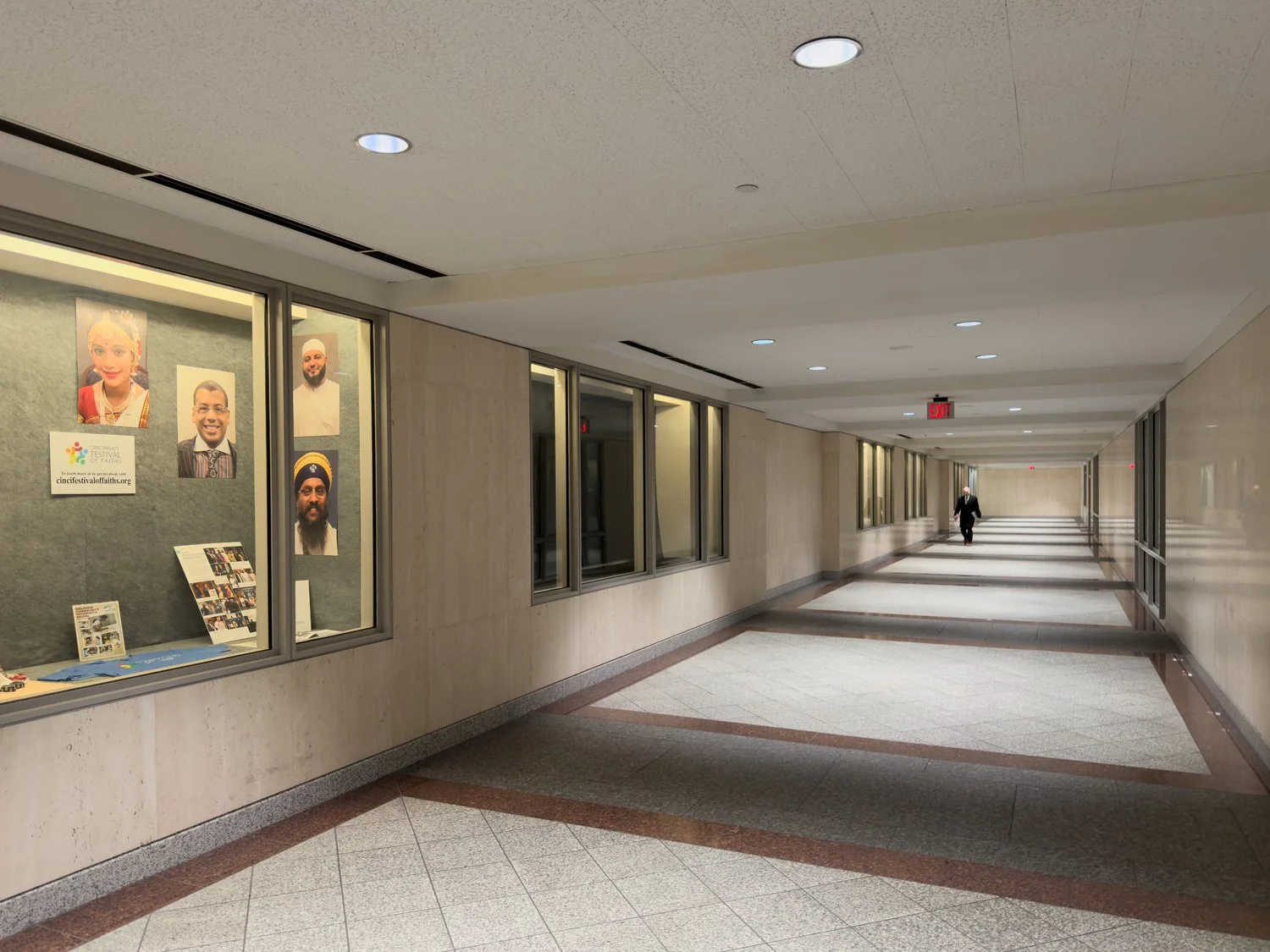
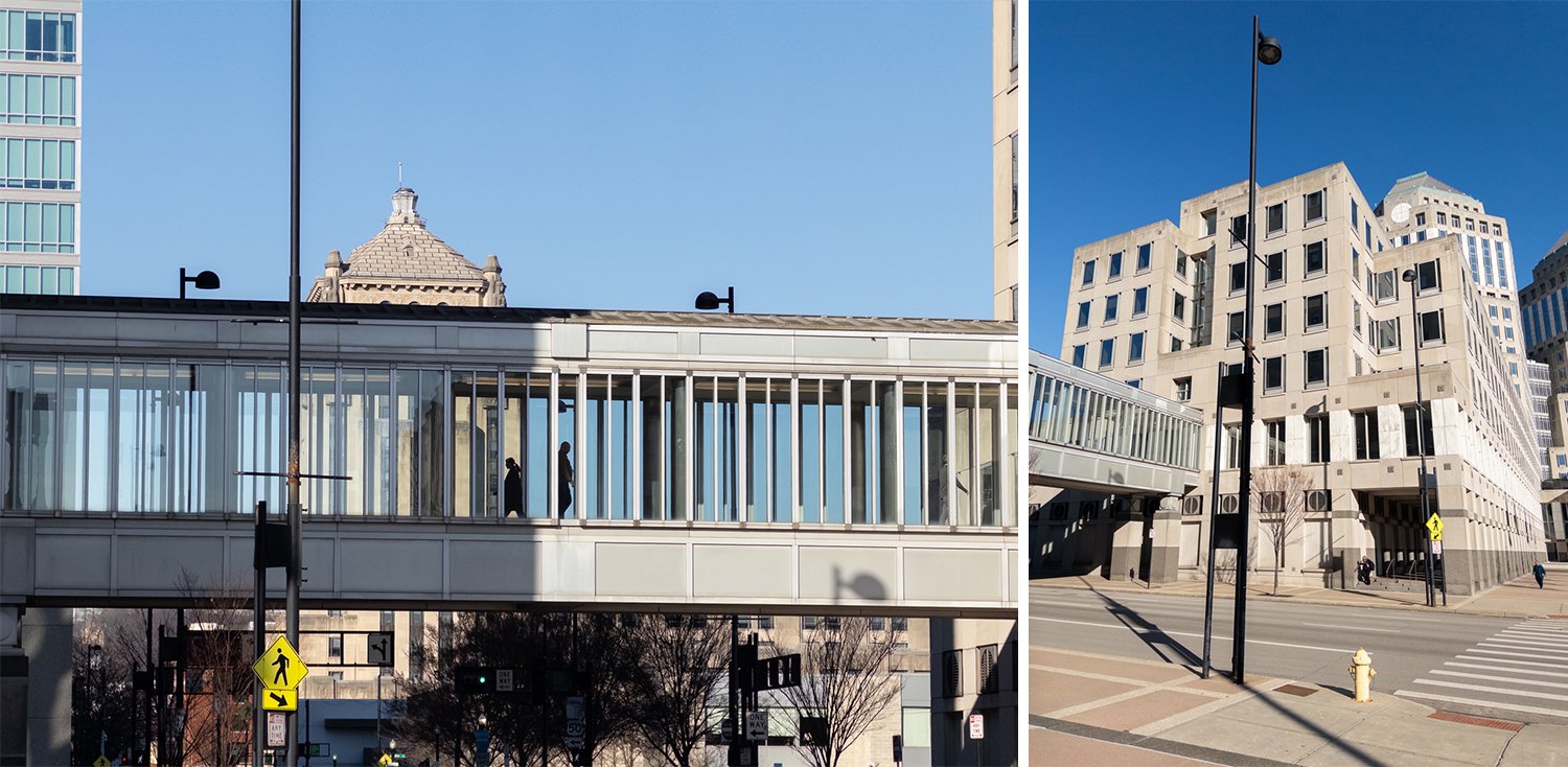
After retracing our steps, we continued westward through the John Weld Peck Federal Building. This area has always had an austere vibe due to security needs—a point illustrated by the evolution of cameras on display where black balls with tiny, digital eyes are now mounted in abundance alongside the dusty remains of their analog and obsolete surveillance predecessors.
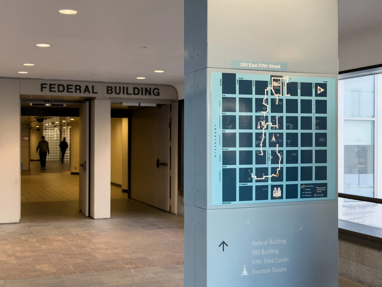
Connection between Columbia Plaza and the John Weld Peck Federal Building.
Connection between Columbia Plaza and the John Weld Peck Federal Building.
You won’t find sustenance here (such amenities are one floor below at the unique Cafe Americana and only accessible from the street after passing through security), but the next destination has options.
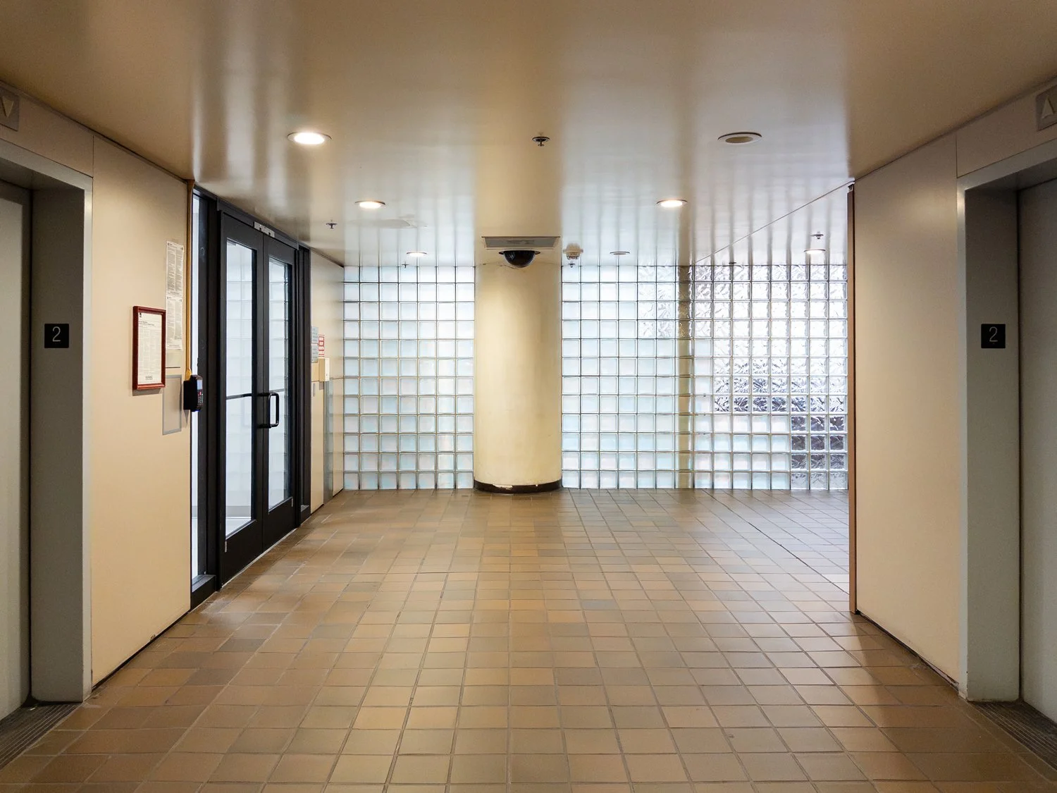
Skywalk pathway through the second floor of the John Weld Peck Federal Building where elevator access is no longer available.
It also serves as a unique example of how not only the Skywalk changed, but the city itself.
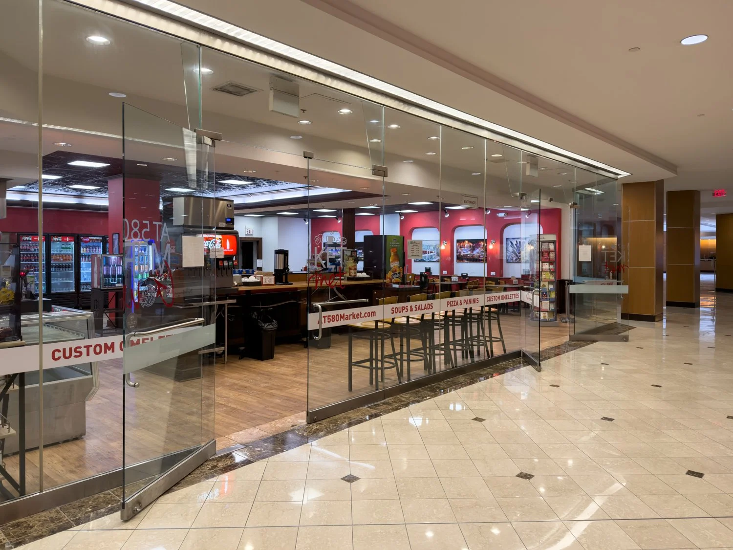
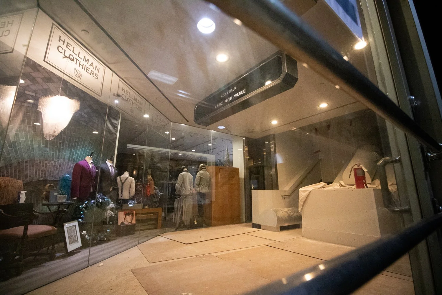
AT580 Market Gourmet in the AT580 Building.
Originally built in 1973, the 15-story AT580 building was converted from office to mixed-use/residential in 2016. The second floor Skywalk level features a large, well-trafficked convenience store—one that makes a decent breakfast sandwich if your visiting hours align with the work crowd. It’s down on the first floor where the more “regular” stuff such as Starbucks, a luncheonette, a couple bars, sushi, and a high-end steak place exist. All of these face the street, however, where most of the city’s foot traffic is found. Still, the Skywalk remains linked here and is reflected in the building’s wayfinding. This section should also see a boost in traffic following the opening of a 170-room Hyatt Centric hotel within the building that’s set to open later this year.
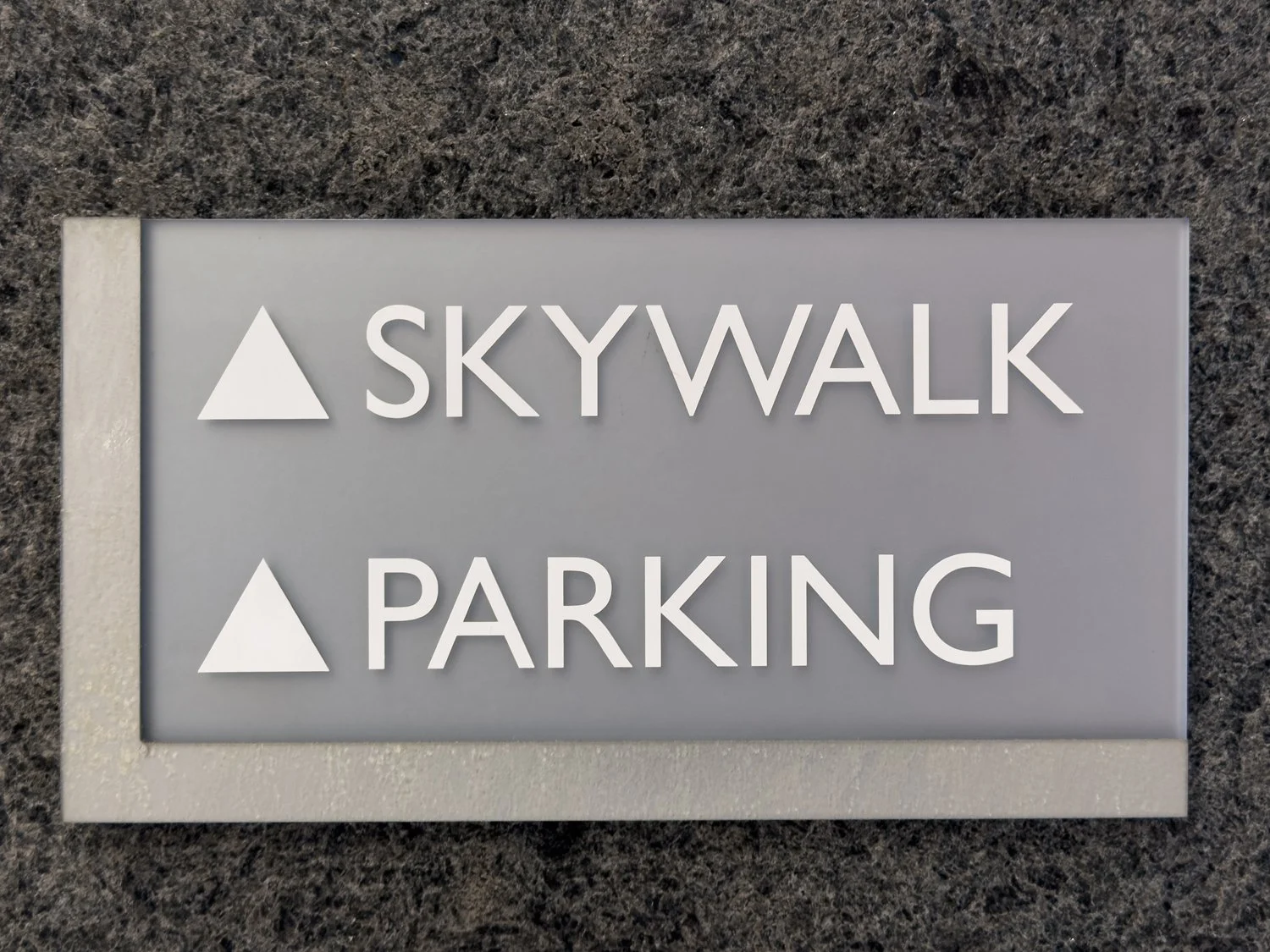
AT580 wayfinding.
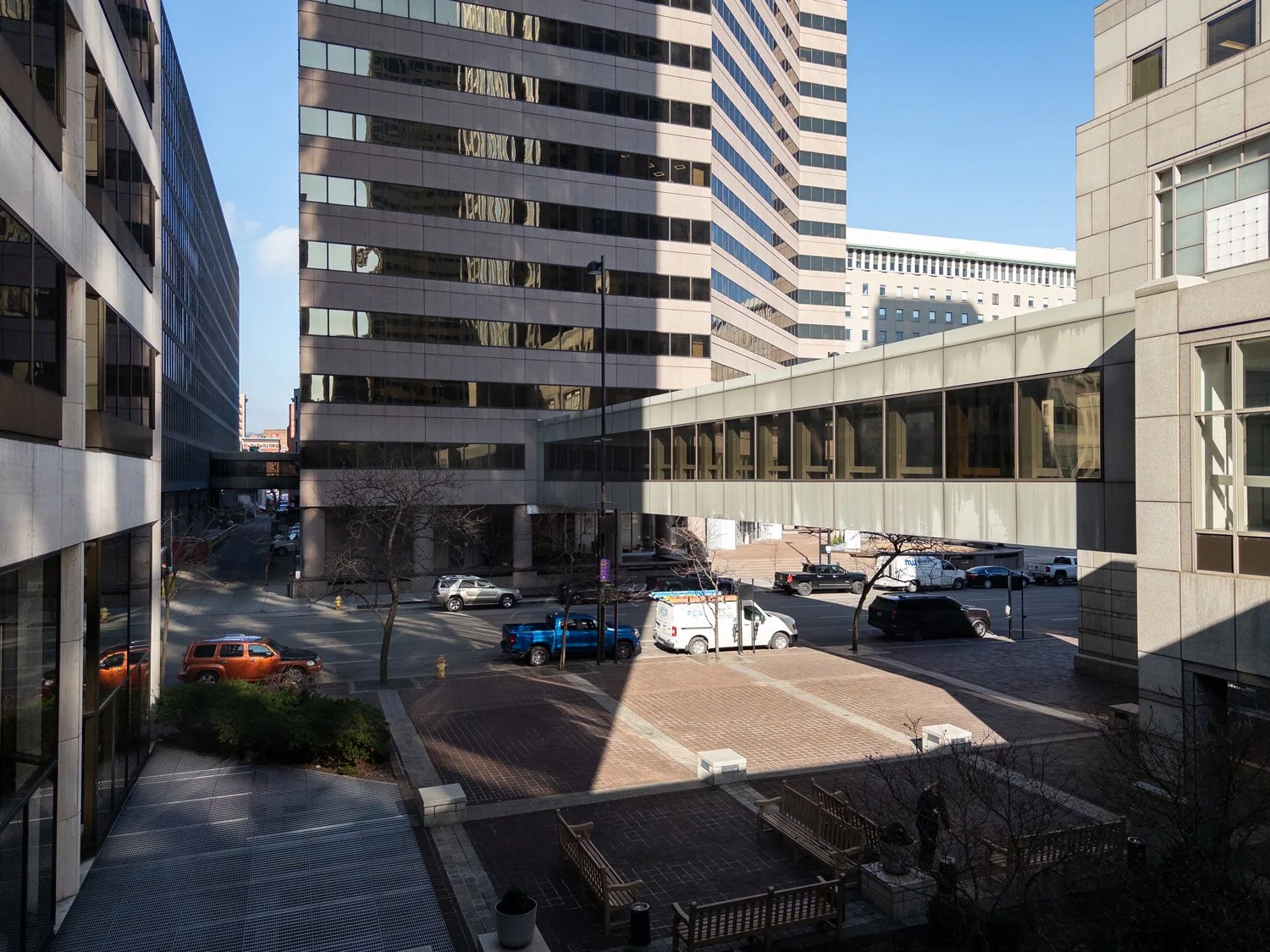
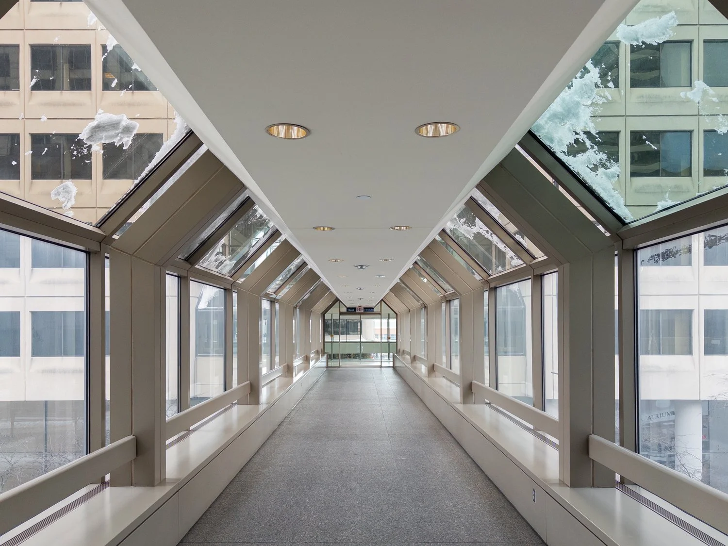
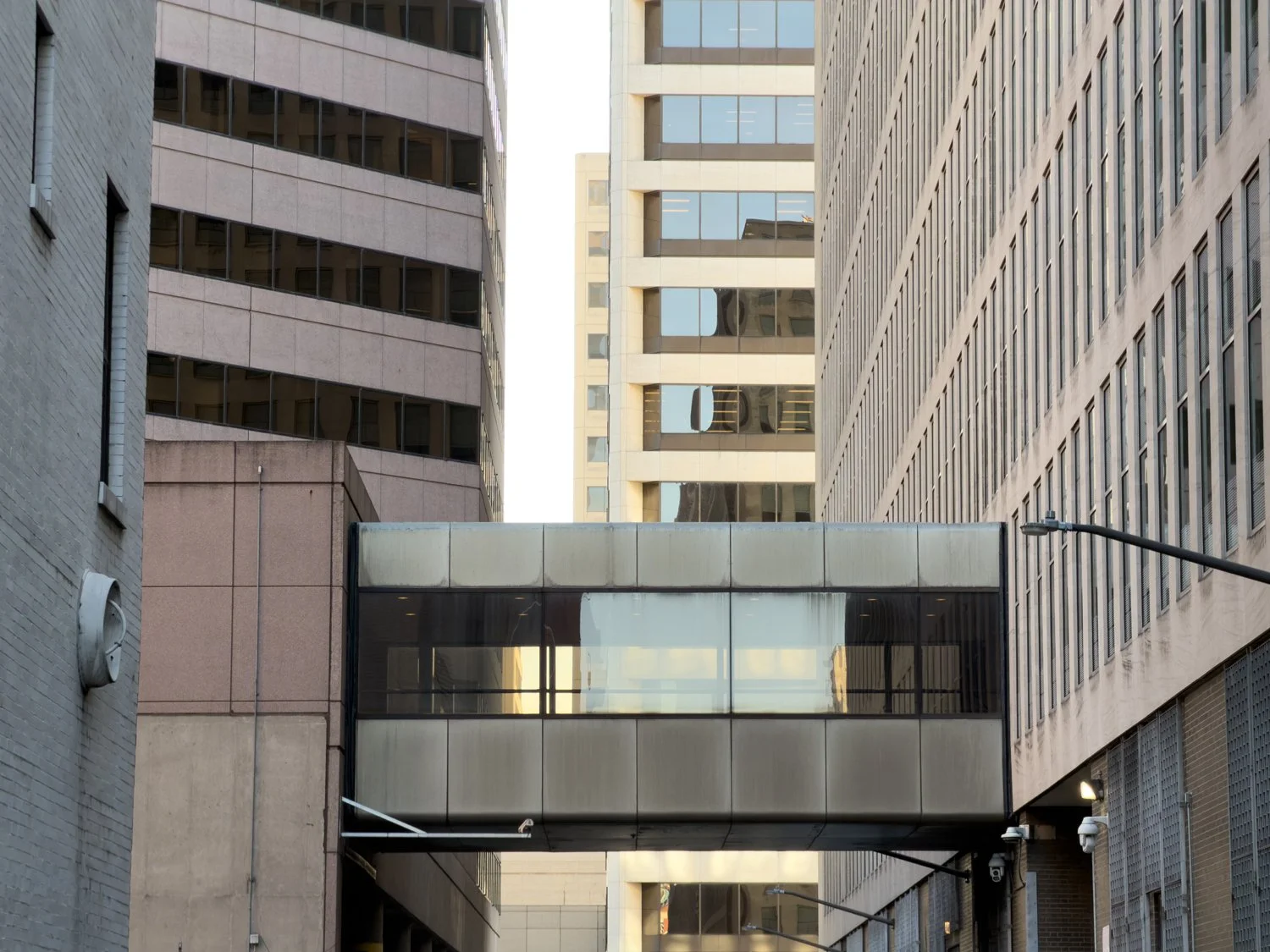
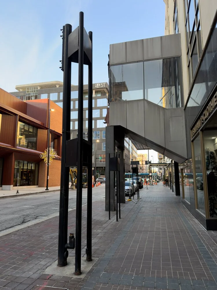
AT580 is pretty much the other end of the remaining Skywalk. Ced and I emerged from there onto the open-air bridge which links to the Fifth Third Center—an area that’s either a publicly accessible Skywalk or the sole private property of a local corporation depending on what mood the security guards are in.
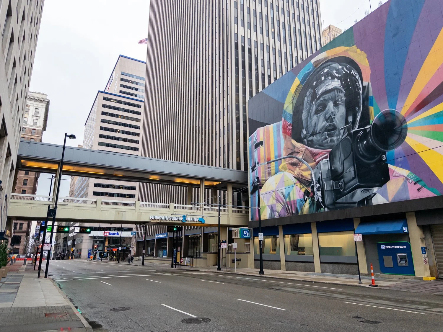
Skywalk bridge above Walnut St connecting AT580 (left) with the Fifth Third Center (right).
The Skywalk had originally continued straight through and above to Fountain Square, but that segment was removed among a remodeling of the city center in the early 2000’s. At that point, the bridge above Walnut St then became a forced detour to the street-level where the sidewalk then continued through to the square. Following the tragic shooting of 2018, however, a renovation of both the Fifth Third Center’s lobby and Fountain Square removed any access from Walnut St. This isn’t necessarily a commentary on that civic planning decision, but I mention it to illustrate how the utility of Cincinnati’s Skywalk has changed significantly over time, especially with how it has long been disconnected from the city center.
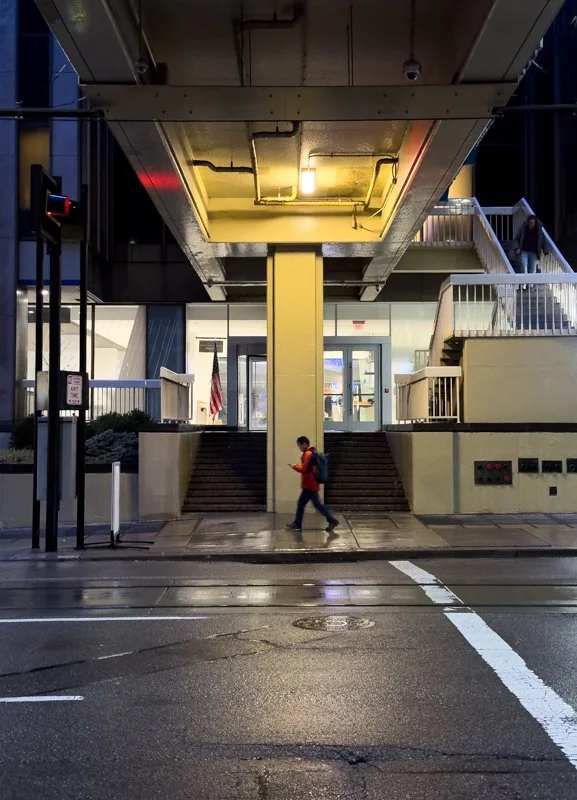
Below the Walnut St Skywalk bridge where street-level access to Fountain Square previously existed. Both the first and second floors now serve as employee entrances to the Fifth Third Center. To access Fountain Square, skywalk users must now walk around the block.
Regardless of whether the bridge is the jurisdiction of Fifth Third Bank or not, it’s for all intents and purposes just an employee entrance at the Skywalk level. And given that the system only goes in one direction from this point, the majority of pedestrians on the street likely have no incentive to access the Skywalk here, if at all.
Street-level connections to the Walnut St Skywalk bridge. Maintenance work can be seen underway in the left photo.
Where the Walnut St bridge meets the AT580 Building.
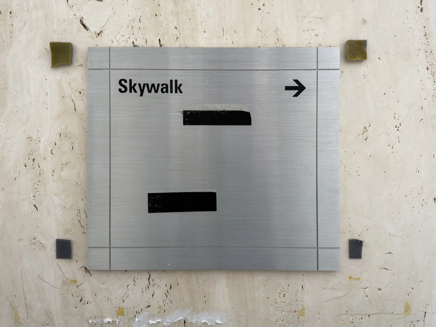
Skywalk branding and signage found on the Walnut St bridge near the Fifth Third Center.
While that bridge may be quasi-public/de-facto private, there are several examples around the area—such as the aforementioned P&G bridge—that are exclusively in service to private entities. Essentially, they’re “skywalks,” but not segments of the greater Skywalk system. Their independent existence also makes for more varied appearances.
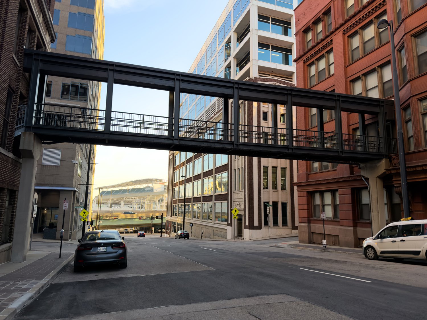
Another Procter & Gamble “skywalk” over Broadway.

“Skywalks” seen above W Ogden Pl.
The Hamilton County Justice Center features two elevated pedestrian bridges that allow staff and inmates to go between the jail’s two towers, as well as, the nearby courthouse.
Open-air pedestrian bridge between two residential buildings above Plum St on the west side of downtown.
At the same time, a now-isolated Skywalk segment above Vine is technically open to the public, but nominally serves only as hotel access with keycard requirements after certain hours. Given that it’s also connected to the Carew Tower Arcade—a currently liminal space void of activity—it likely sees limited foot traffic.
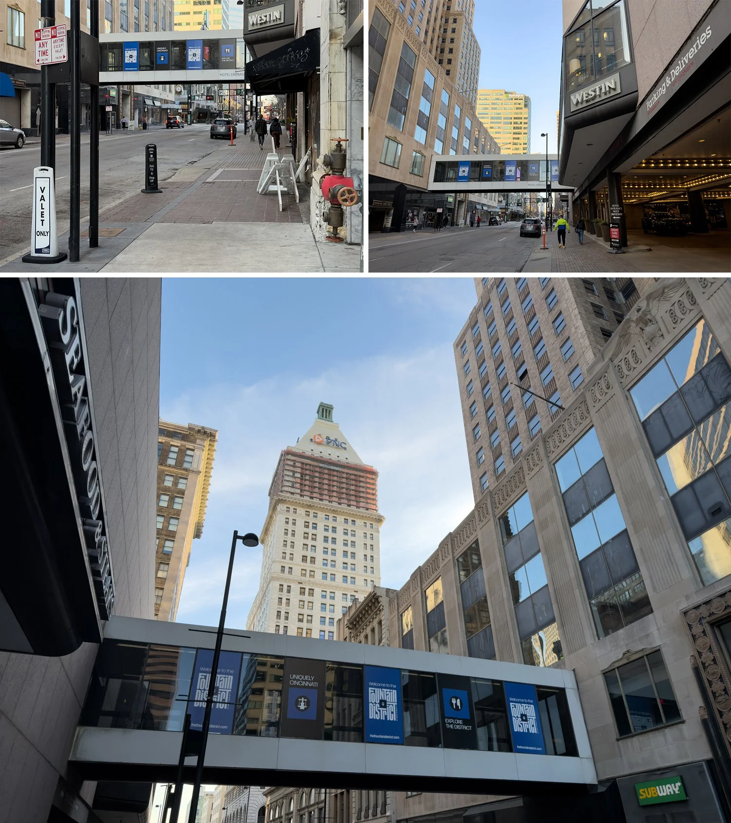
Isolated Vine St Skywalk segment that’s now primarily used for access to the Westin Hotel.
There’s also a few other fragments of the system still hanging around across the area:
Street sign highlighting a now-demolished section of Skywalk that once linked all the way to the convention center.
Signage for a former entry point along Race St.
Remnants of a stairwell along Race St. that once connected to the Skywalk.
A December 2024 photograph from the Carew Tower Arcade showing a now-closed Skywalk entrance/stairwell.
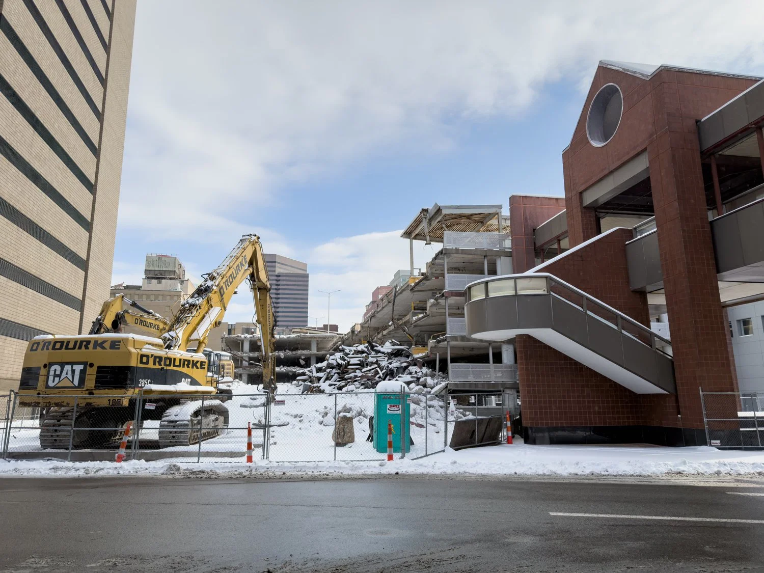
Segments of the 6th and Plum Skywalk still stand as an older parking garage is demolished in January 2026. Following the recent completion of renovations to the convention center, it’s not yet known if this segment will be kept or eventually demolished.
The Sixth and Plum Skywalk still hanging on, though no longer accessible for public use. The parking garage seen at right is presently being demolished.
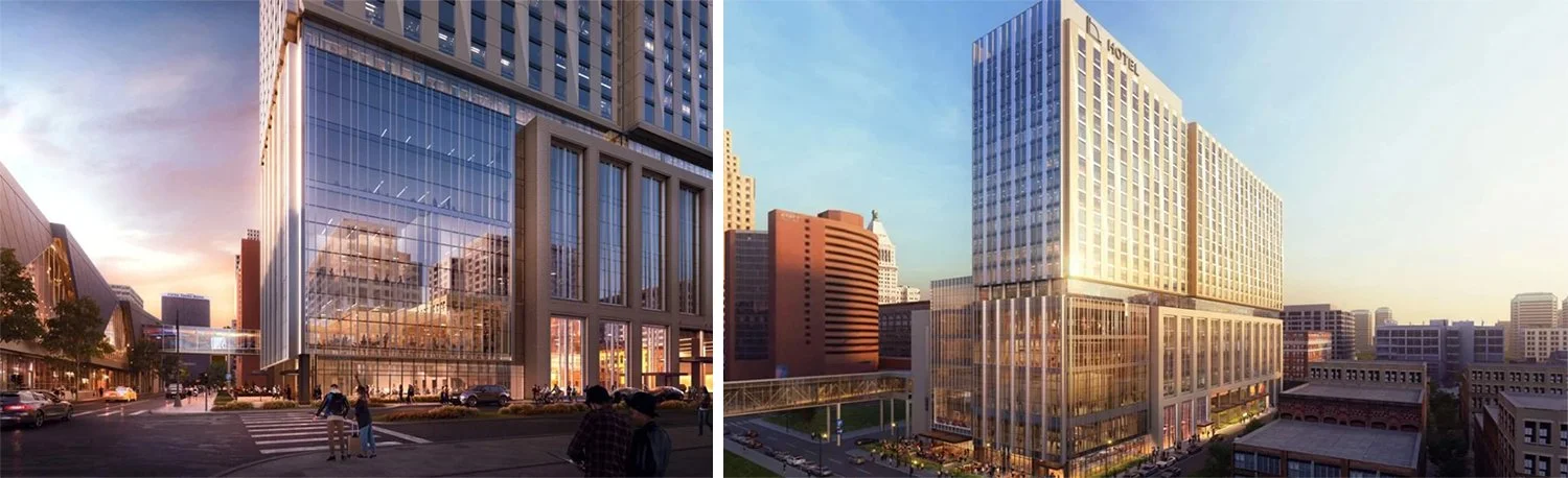
And eventually, a new bridge will be built to connect the recently renovated convention center to a brand-new 700 room Marriott hotel.
Renderings of the planned hotel as showcased by Visit Cincy. The new “skywalk” can be seen on the left side of each image.
When I first started writing this, I hadn’t planned to get this detailed or visit the Skywalk several more times in order to get more photographs/check details. The decline of the system isn’t something I necessarily mourn (I never did experience it at its true peak), but I do find it fascinating.
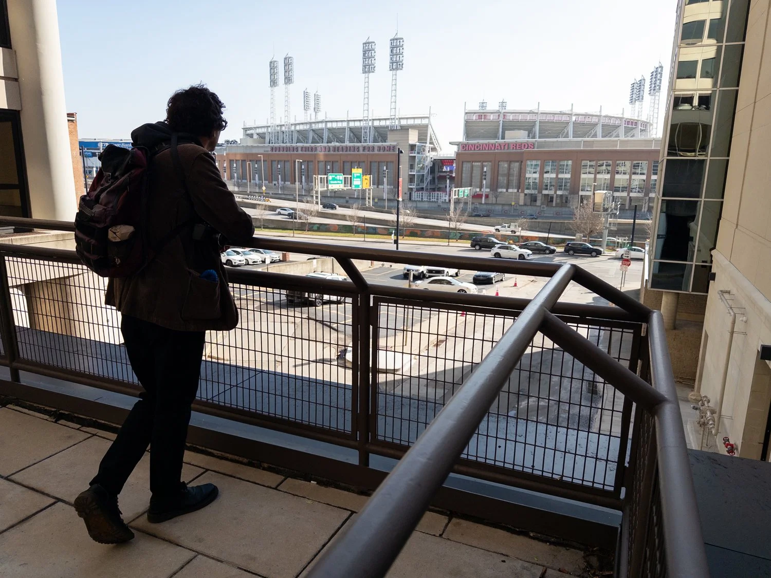
Skywalk seen in the distance along Fourth St during the summer of 2025.
The routes, access, and layout of the Skywalk were always changing throughout its history as the city transformed around it. The surviving segments exist due to their proximity and connection to active office complexes, and I imagine they’ll still be around for some time simply due to circumstance.
What follows are maps of the system at certain points in its life (as I understand it/could glean from old street side maps and historic references).
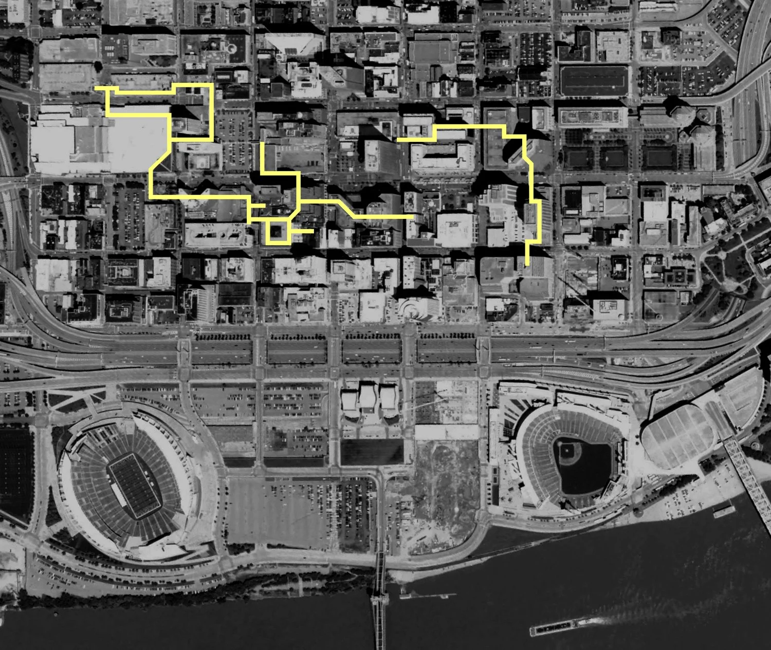
“Peak” Skywalk:
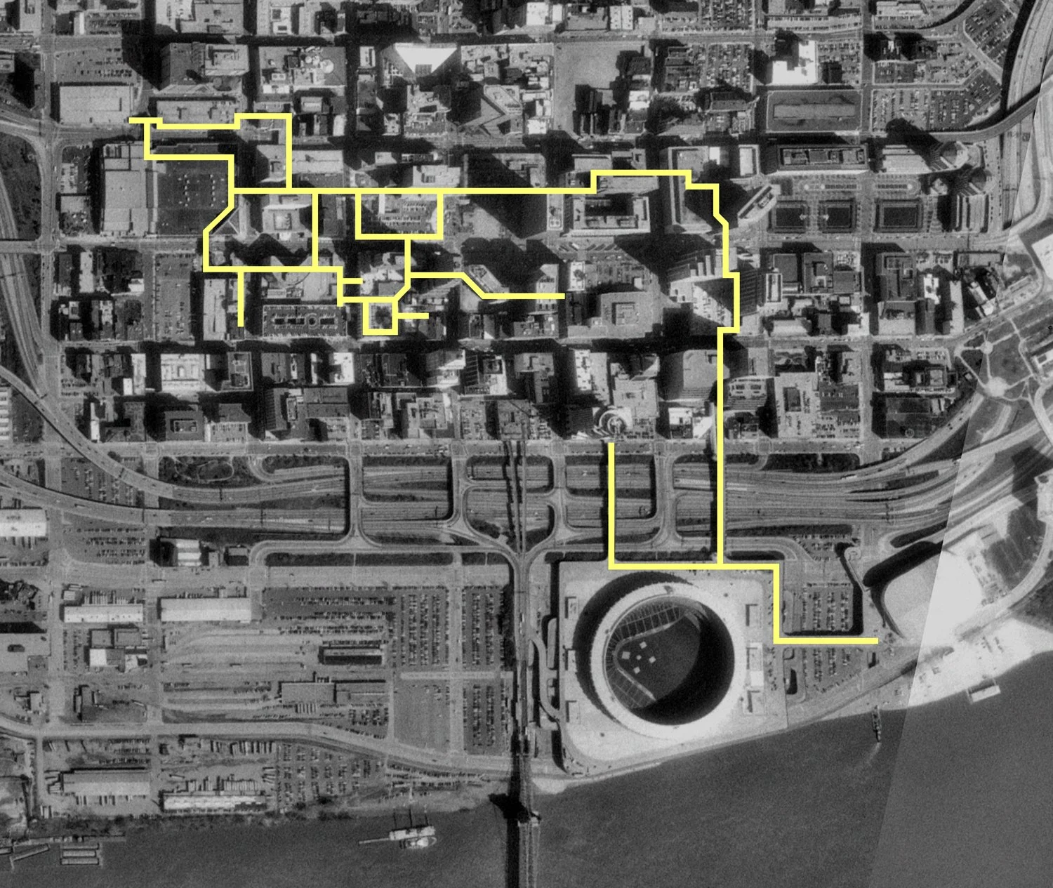
Laid over 1993 aerial imagery, the above map showcases what I believe to have been the largest extent of the system. Again, I’m not sure if the stadium bridges were “officially” part of the Skywalk, but they were certainly utilized as part of it. Along with multiple routes throughout the downtown core, pedestrians were once able to traverse nearly all of downtown from the convention center to the indoor arena without ever stepping foot on the street.
2008:
The above graphic highlights the parts of the Skywalk that existed when I documented the system in December of 2008 (aerial imagery is from 2009). By this point, the system was divided into two separate sections at Fountain Square.
2026:
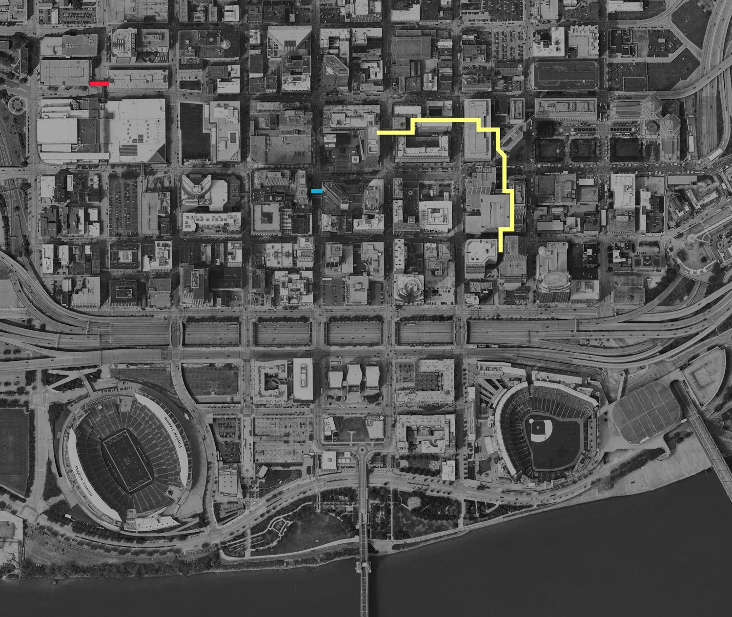
The 2026 map above (laid over aerial imagery from 2025) showcases what remains as of this publishing. Yellow highlights the route still utilized by the general public, while red highlights the standing, but not accessible Sixth and Plum section. Blue, meanwhile, represents the aforementioned Westin hotel access above Vine St.
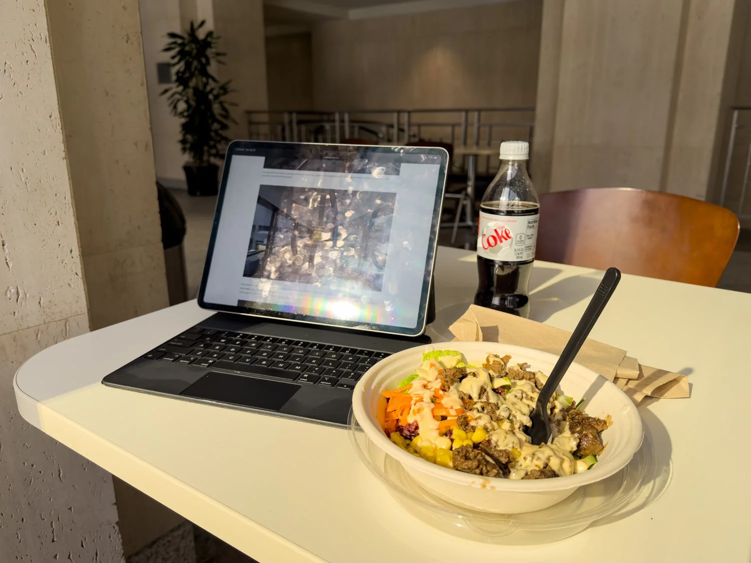
And while I still have no practical reason to use the Skywalk, I have found the Tuesday-only Bibibop to make not only for a decent lunch, but a good place to author long-winded nonsense such as this article.
One last thing before I wrap this up:
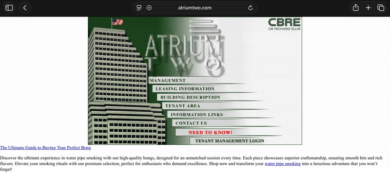
The old Atrium II website still exists (as seen in the screenshot above). It’s a great remnant of the early aughts internet complete with an American flag gif that waves and a dramatic, flashing “NEED TO KNOW” section which includes bulletins from 2003 such as:
Safety Tip:
IF YOU SEE SOMEONE ON YOUR FLOOR THAT YOU DO NOT RECOGNIZE, ASK IF THEY NEED ASSISTANCE. IF THEY ACT SUSPICIOUS OR NERVOUS, THEN ASK FOR PICTURE IDENTIFICATION. IF THEIR ANSWER IS QUESTIONABLE, PLEASE CONTACT [phone number] IMMEDIATELY.
It also, apparently, offers expert advice on purchasing a quality bong:

However, although weed is now legal in Ohio, no dispensaries exist on the Skywalk…
…yet.
• • •
Special thanks to Travis Estell, Cedric Rose, Phil Armstrong, and Jake Mecklenborg for their assistance on this piece.
Other Skywalk stories can be found here.
If you find the Skywalk interesting, you’ll probably also enjoy the story of the Backstage District and/or several stories about dying malls.
Since 2007, the content of this website (and its former life as Queen City Discovery) has been a huge labor of love.
If you’ve enjoyed stories like The Ghost Ship, abandoned amusement parks, the Cincinnati Subway, Fading Ads, or others over the years—might you consider showing some support for future projects?