The Wasson Way
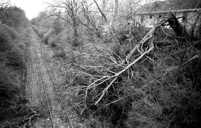
The abandoned tracks of the "Wasson Way" rail line, a potential thoroughfare for recreation or light rail.
Cameron Knight
If you drive into Cincinnati from the west side and look out over the sprawling network of railroad tracks, industrial cargo and airport-like control tower that watches over the massive rail yard, it's hard to imagine that any railroad in the city would go unused. Yet, there's quite a few hidden amongst the brush. The question is, what do you do with them? For the Wasson Way, there's two concepts that conflict or can coexist depending on who you talk to, but does it all hinge on political controversy in order to rise from a hidden, historical obscurity?
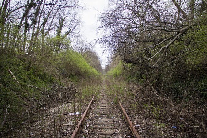
The Wasson Way.
Ronny Salerno
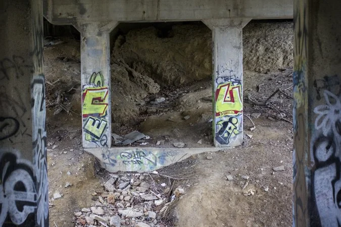
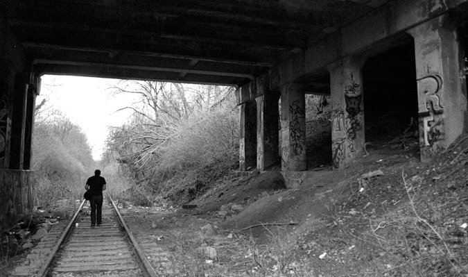
It's a gray and cold Friday afternoon, but the rain's holding off. We parked the car on a side street not too far from where we saw the abandoned tracks. Cutting across a condominium parking lot, I watch Cam go first down the embankment. He makes it down with ease, but I'm not so lucky as my ass slides through the dirt and mud towards the unused railroad. In both directions the tracks go on as far as you can see, but immediately next to us is a roadway overpass, the underside of which has become an urban art gallery - a canvas for graffiti. Clear of hobos, we take a look around.
Ronny Salerno
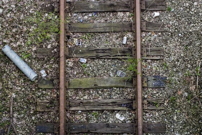
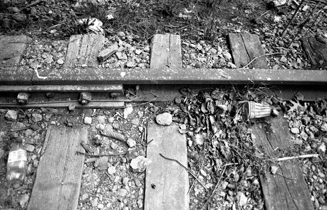
These tracks haven't seen a train since 2009, when Norfolk-Southern cut off service. Since then, the industrial corridor has been sitting quietly, slowly being reclaimed by the nature that buffers it from the backyards and businesses along its path.
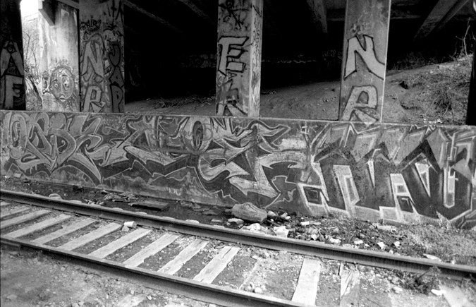
Beneath the overpass.
Cameron Knight
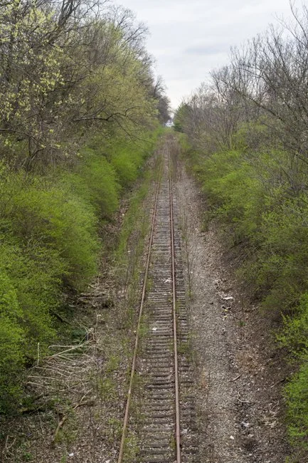
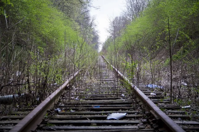
Known as the "Wasson Way," the rail line spans nearly 7 miles. It links the east side neighborhoods of Hyde Park, Oaklway, Fairfax, Mariemont, Mt. Lookout and the city of Norwood. If you didn't know any better, you might assume its part of a subway line, although the stations and trains are clearly absent (something the Queen City is all too familiar with).
Ronny Salerno
The right-of-way holds great potential to one day be used for light rail though. It connects some of the city's most dense neighborhoods, schools, attractions, shopping, businesses and one of the major universities in town (Xavier).
Cameron Knight
Currently, a non-profit group is advocating for a "rails to trails" conversion. I.E. transforming the right-of-way into a bike/walking path. A repurposed "Wasson Way" recreation trail would eventually link up with the renown Little Miami Bike Trail.
Ronny Salerno
But what about the potential for rail transportation? The line is almost too perfect for it. And for a city to build a passenger rail line, acquiring right-of-way can be one of the most tedious and expensive tasks. Yet, here's a perfect opportunity. Randy Simes of Urban Cincy made that case not too long ago when he proposed that the Wasson Way be preserved for light rail, while the continuously Hamilton County pushed riverfront Oasis Line be the recreation trail.
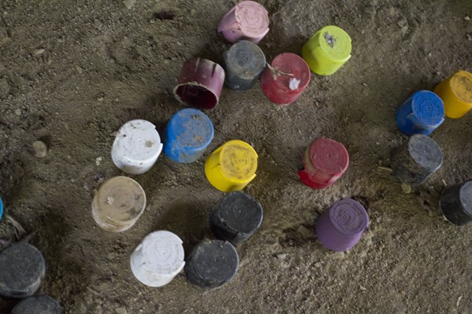
Discarded spray paint can lids.
Ronny Salerno
Proponents of the bike trail state that they support using the way for both light rail and recreation in the future, allowing the two to coexist together. Could it happen though? Is there enough room for light rail and a bike bath? Is there even enough room for dual tracks allowing rail transit in both directions? And if the bike path is built first, can you imagine the complaints that will fall in from those living in a city that has never had modern rail transportation when the powers that be want to run trains by their quiet, peaceful bike path?
Beneath the overpass.
Ronny Salerno
Nevertheless, can the bike trail even happen? Currently, Norfolk-Southern still owns the land and according to a 2011 article they think it can still be used for light rail and wanted to see more firm financial backing before they consider selling to the bike trail advocates. Those advocates might have their financial backing from the city, if the currently debated parking privatization contract goes through. If not, they plan to keep pursuing other funding options.
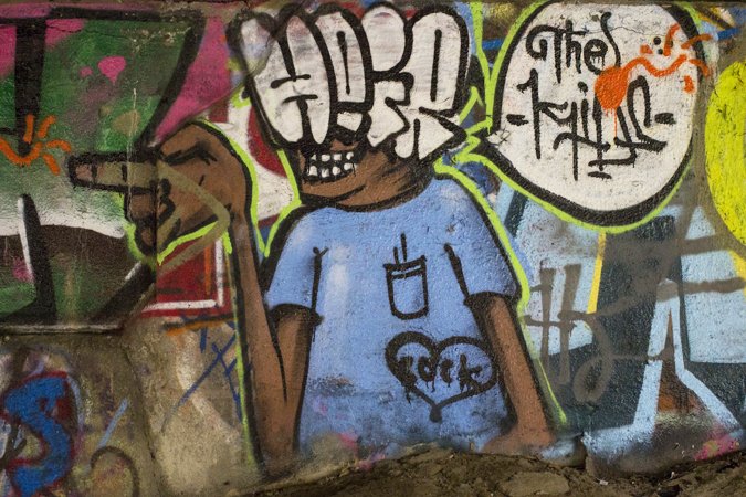
Wasson Way graffiti.
Ronny Salerno
There's a lot of what-ifs, no set plan and many things yet to be determined, but both ideas are noble goals. Personally, I think a light rail plan makes more sense and is more important to the long term growth of this city and the surrounding area, but I don't hate bike paths.
In the meantime, the tracks remain quiet and the gritty ovepasses exist as a hidden, urban art gallery.
Cameron Knight
Updates | Oct. 22, 2017:
The graffiti covered bridge seen here was demolished in late 2016 and replaced with a new one in mid 2017.
In September 2017, I explored another section of the proposed Wasson Way, the abandoned railroad bridges. That story and an update on the bike trail is here.